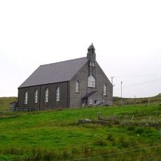
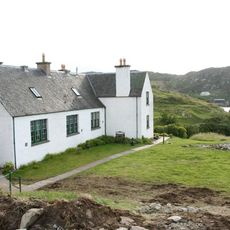
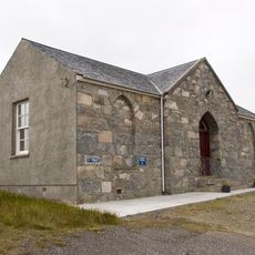
Rhenigidale, Coastal village in Harris, Scotland
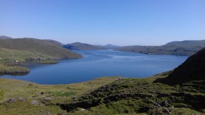
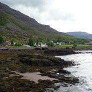
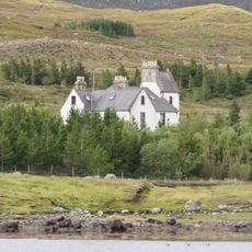
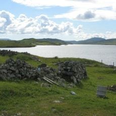
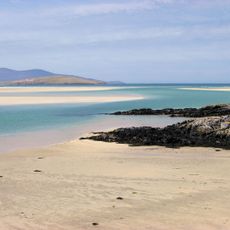
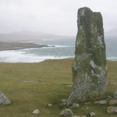
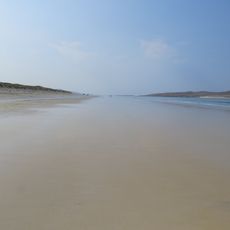
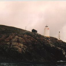
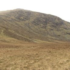
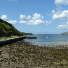
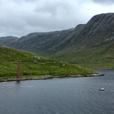
Rhenigidale is a coastal village on the eastern shore of Harris island, positioned along the waters of the Minch with views toward the Isle of Skye and mainland Scotland. The settlement consists of scattered houses and crofts spread along the shoreline and into the gently rising terrain beyond.
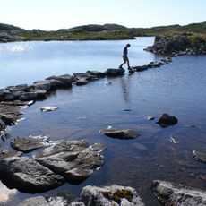
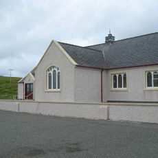
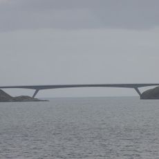
Until 1990, the village was completely cut off from the rest of the island and could only be reached by crossing a mountain path or traveling by boat. The opening of a road connection ended this geographical isolation and fundamentally changed access to the place.
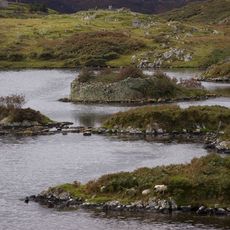
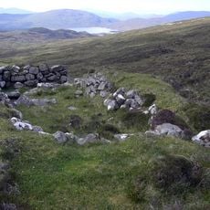
The village is shaped by traditional small-scale farming, with residents tending plots of land and raising livestock across the rugged Hebridean landscape. This way of life remains visible in how the community is organized and how people use the surrounding terrain.
Visitors should check they have appropriate gear for changing weather conditions, as the village is exposed to open ocean elements. Accommodation is limited, so advance booking is advisable, particularly during warmer months.
The village held one of Britain's rarest phone numbers until 1990: simply the digit 1. This unusually short number was a relic from the early days of the telephone system, when small remote places had their own exchange codes.
Location: Outer Hebrides
Location: Harris
Address: Rhenigidale, Isle of Harris HS3 3BD, UK
GPS coordinates: 57.91800,-6.68400
Latest update: December 6, 2025 19:10
The Scottish Highlands span thousands of square miles in northern Scotland, offering striking landscapes of mountains, jagged coastlines, and remote lakes. This region retains villages that only recently gained road access, such as Rhenigidale on Harris Island, connected to the rest of the island in...
Clisham
9.1 km
Amhuinnsuidhe Castle
18.7 km
Eilean Glas Lighthouse
7.2 km
Ardvourlie Castle
9.6 km
Loch Erisort
22.3 km
Luskentyre beach
16.5 km
Loch an Duin,dun,Taransay
20.5 km
Dun Cromore,broch,Loch Cromore
25.7 km
Airigh a'Sguir,beehive shielings
22.5 km
Clach Mhic Leòid
19.1 km
Clach An Teampuill
21.4 km
Scarasta beach
23.8 km
Kinloch Church
22.4 km
Park Free Church, Grabhir, Lewis
20.3 km
Rubh Uisenis light
12.7 km
Mullach an Langa
11.4 km
Harris, Amhuinnsuidhe, Archway
18.8 km
Scalpay, Eilean Glas Lighthouse, Pier
7.1 km
Lochs, Marvig, Planasker Primary School And Schoolhouse
25.5 km
Pier, West Loch Tarbert, Harris
8.1 km
Bunavoneadar whaling station, Harris
9.8 km
Harris, Manish Free Church
17.7 km
Scalpay Bridge
4.3 km
Scalpay, Eilean Glas Lighthouse, Foghorn
7.3 km
Tarbert Stores, The Pier, Tarbert
7.1 km
Bridge, Aline, Harris
10.8 km
Scalpay, Eilean Glas Lighthouse, Keeper's Dwelling
7.2 km
Harris, Tarbert Primary School
7.8 kmVisited this place? Tap the stars to rate it and share your experience / photos with the community! Try now! You can cancel it anytime.
Discover hidden gems everywhere you go!
From secret cafés to breathtaking viewpoints, skip the crowded tourist spots and find places that match your style. Our app makes it easy with voice search, smart filtering, route optimization, and insider tips from travelers worldwide. Download now for the complete mobile experience.
A unique approach to discovering new places❞
— Le Figaro
All the places worth exploring❞
— France Info
A tailor-made excursion in just a few clicks❞
— 20 Minutes