
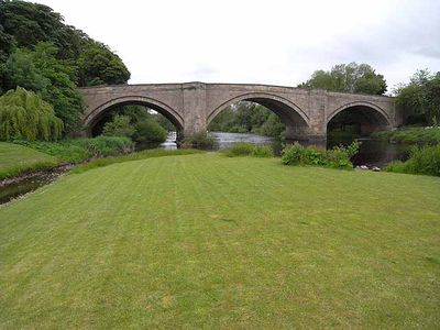
Piercebridge Bridge, bridge in North Yorkshire/County Durham, UK
Location: Piercebridge
Location: Cliffe
Inception: 16 century
Made from material: sandstone
GPS coordinates: 54.53482,-1.67571
Latest update: September 23, 2025 16:47
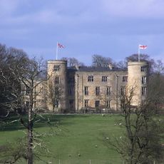
Walworth Castle
3.1 km
Piercebridge Roman Fort
199 m
Piercebridge Roman Bridge
332 m
Ulnaby
2.7 km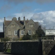
Thornton Hall
3.1 km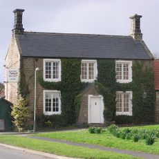
Raby Hunt Inn
3.7 km
Piercebridge Roman Fort
148 m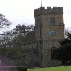
Church of All Saints
2.5 km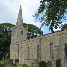
Church of St Edwin
1.5 km
Church of St Mary
210 m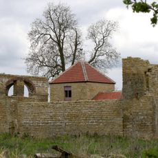
Dovecote And Single Storey Range To South Of Parkside Farmhouse
3.5 km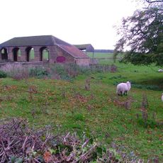
Haybarn And Attached Shed South Of Parkside Farmhouse
3.5 km
George Hotel
126 m
Carlbury Bridge
359 m
The Bridge House
61 m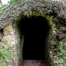
Ice House To East Of Quarry End
4 km
Ivy House
275 m
Milepost South Of Carlbury Hall
565 m
Medieval Chapel Ruins On Roman Foundations In Rear Garden Of Bath House, Tees View
89 m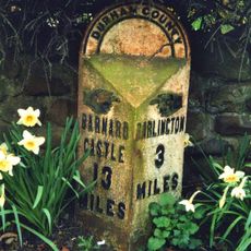
Milepost In Front Of Number 12 (Cedar Ridge)
3.5 km
28, The Green
248 m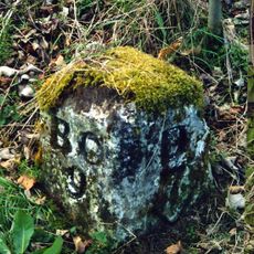
Milestone, 110 Metres South Of Greystone Hall
2.7 km
Wall, Gate Piers, Overthrow And Lantern To West Of Church Of St Mary
223 m
2, The Green
308 m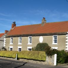
The Old Hall
1.5 km
Round barrow 340m east of Cliffe Hall known as Betty Watson's Hill
294 m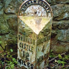
Milepost At High Coniscliffe Bridge
2 km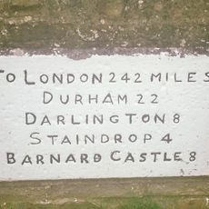
Milestone, village Main Road
3.8 kmReviews
Visited this place? Tap the stars to rate it and share your experience / photos with the community! Try now! You can cancel it anytime.
Discover hidden gems everywhere you go!
From secret cafés to breathtaking viewpoints, skip the crowded tourist spots and find places that match your style. Our app makes it easy with voice search, smart filtering, route optimization, and insider tips from travelers worldwide. Download now for the complete mobile experience.

A unique approach to discovering new places❞
— Le Figaro
All the places worth exploring❞
— France Info
A tailor-made excursion in just a few clicks❞
— 20 Minutes