Ramagiri mandal, mandal in Sri Sathya Sai district, Andhra Pradesh, India
Location: Sri Sathya Sai district
Capital city: Ramagiri
GPS coordinates: 14.30000,77.50000
Latest update: March 4, 2025 03:41
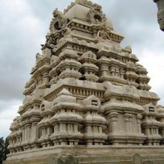
Veerabhadra Temple
56.7 km
Thimmamma Marrimanu
94.1 km
Makalidurga
96.6 km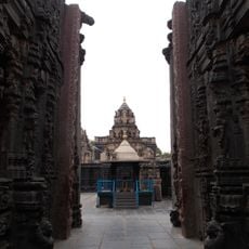
Bugga Ramalingeswara temple
88.1 km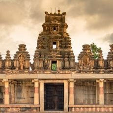
Bhoga Nandeeshwara Temple
103.9 km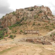
Gooty Fort
92.3 km
Galeru Nagari Sujala Sravanthi Project
98.6 km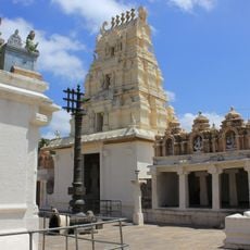
Seebi Narasimha Swamy Temple, Seebi
101.2 km
Chintala Venkataramana Temple, Tadipatri
87.5 km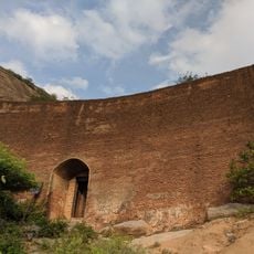
Ratnagiri Fort
67.5 km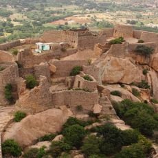
Madaksira hill fort
46.8 km
Jayamangali Blackbuck Reserve
65.3 km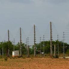
Gauribidanur Radio Observatory
77.9 km
Kaggaladu
88.4 km
Mounagiri Hanuman Temple
41.5 km
Anantapur clock tower
43.7 km
Teru Malleshvara Temple, Hiriyur
102.7 km
Sir M Vishweshwarayya Samadhi
101.5 km
Laxminarsimha Swamy temple, Kadiri
73.9 km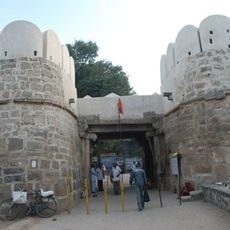
Penukonda Fort
26.1 km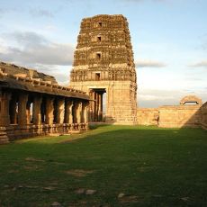
Madhavaraya Temple
45.5 km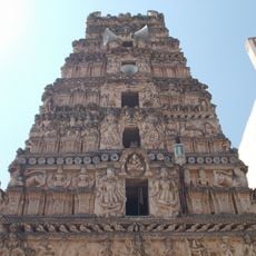
Rayadurg Palace and Rama and Krishna temples
84.2 km
Gandikota Fort
102.3 km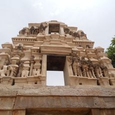
Chennakeswaraswami Temple
100.4 km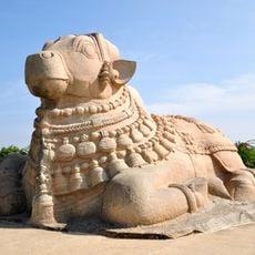
Basavannah temple with Nandi
56.6 km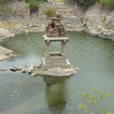
Sitatirtham stepped well
26.6 km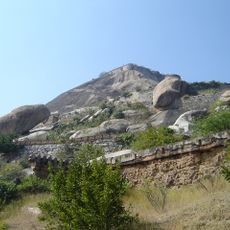
Madhugiri Fort
78.4 km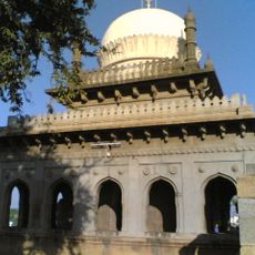
Malik Rihan Darga
89.7 kmReviews
Visited this place? Tap the stars to rate it and share your experience / photos with the community! Try now! You can cancel it anytime.
Discover hidden gems everywhere you go!
From secret cafés to breathtaking viewpoints, skip the crowded tourist spots and find places that match your style. Our app makes it easy with voice search, smart filtering, route optimization, and insider tips from travelers worldwide. Download now for the complete mobile experience.

A unique approach to discovering new places❞
— Le Figaro
All the places worth exploring❞
— France Info
A tailor-made excursion in just a few clicks❞
— 20 Minutes