
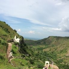
Talode, settlement in India
Location: Nandurbar district
Location: Maharashtra
Elevation above the sea: 366 m
GPS coordinates: 21.56074,74.83000
Latest update: June 3, 2025 12:15
Bawangaja
48.6 km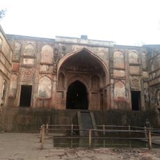
Neelkantha
103 km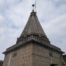
Padmalaya
96.6 km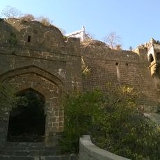
Galna Fort
92.9 km
Unapdev
44.4 km
Kankrala
101.5 km
Chaubara Dera 1 temple, Un
70.8 km
Kashi Vishwanath Temple, Maheshwar
103.6 km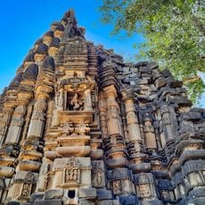
Nilkantheshvara temple, Un
71.2 km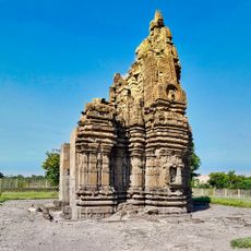
Mahakaleshwar temple 2, Un
71.3 km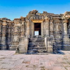
Chaubara Dera 2, Un
71 km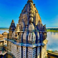
Ahilyeshwar Temple, Maheshwar
103.6 km
Ballaleshwar temple, Un
70.6 km
Ek Khamba Mahal
104.6 km
Mahakaleshwar temple 1, Un
70.9 km
Malik Mughith's Mosque
104.1 km
Baz Bahadur Mahal
102.9 km
Somavati Kund
104.7 km
Chor Kot Mosque
104.2 km
Jali Mahal
103.2 km
Darya Khan's Tomb
104.8 km
Carvan Sarai
104.1 km
Lohani Gate
105.1 km
Lal Bag
104 km
Daike Chhoti Behen Ka Mahal
104 km
Dai-ka-Mahal
103.8 km
Chor Kot
104.3 km
Dai ki Chotti Behen ka Mahal
104 kmReviews
Visited this place? Tap the stars to rate it and share your experience / photos with the community! Try now! You can cancel it anytime.
Discover hidden gems everywhere you go!
From secret cafés to breathtaking viewpoints, skip the crowded tourist spots and find places that match your style. Our app makes it easy with voice search, smart filtering, route optimization, and insider tips from travelers worldwide. Download now for the complete mobile experience.

A unique approach to discovering new places❞
— Le Figaro
All the places worth exploring❞
— France Info
A tailor-made excursion in just a few clicks❞
— 20 Minutes