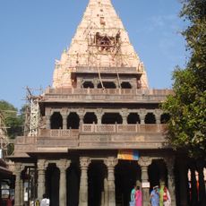
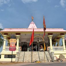
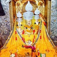
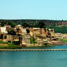
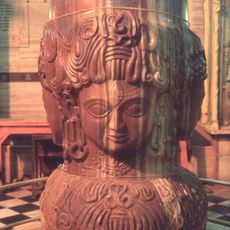
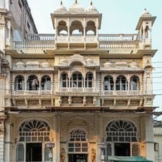
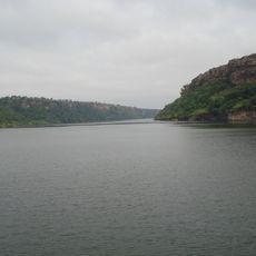
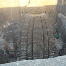
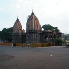
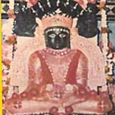
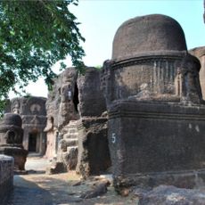
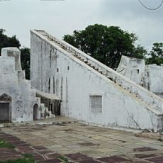
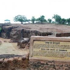
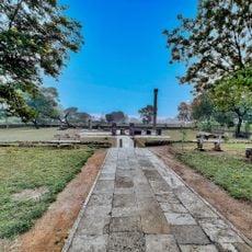
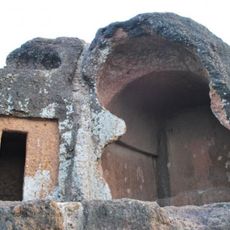
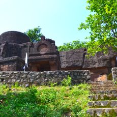
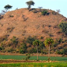
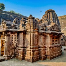
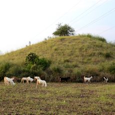
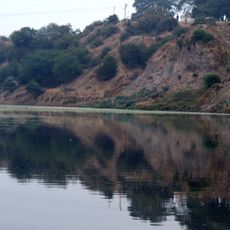
Nalkheda, human settlement in Agar Malwa district, Ujjain division, Madhya Pradesh, India
Location: Agar Malwa district
Elevation above the sea: 373 m
GPS coordinates: 23.83417,76.24667
Latest update: April 6, 2025 13:48
Mahakaleshwar Jyotirlinga
87.4 km
Kal Bhairav temple
84.2 km
Bagalamukhi Temple
1.2 km
Malvos plynaukštė
119 km
Mukundra Hills Tiger Reserve
121.7 km
Gagron Fort
88.6 km
Pashupatinath Temple
121.9 km
Kanch Mandir
127 km
Gandhi Sagar Sanctuary
99.5 km
Dharmrajeshwar
85.9 km
Krishnapura Chhatri, Indore
130.4 km
Yeshwant Club
129.2 km
Nageshwar Parshwanath Tirth
66.7 km
Kolvi Caves
45.2 km
Ved Shala
88.6 km
Dhamnar Caves
86 km
Sondani
119.7 km
Hathiagor Buddhist Caves
49.6 km
Binnayaga caves
44.1 km
Dhamnar caves
85.9 km
Laxminarayan Temple
128 km
Temple, Fort wall and Statues
112.4 km
Ancient Mound (Vishya Tekri)
82 km
Dhamnar Dharmrajeshwar temple, Chandwasa
85.9 km
Prehistoric Painted Rock Shelters at Chatarbhuj Nala
111 km
Ancient Mound(Kumbhar tekri)
81 km
Ancient Mound
83 km
Boliya Sarkar Chhatri, Indore
130.3 kmReviews
Visited this place? Tap the stars to rate it and share your experience / photos with the community! Try now! You can cancel it anytime.
Discover hidden gems everywhere you go!
From secret cafés to breathtaking viewpoints, skip the crowded tourist spots and find places that match your style. Our app makes it easy with voice search, smart filtering, route optimization, and insider tips from travelers worldwide. Download now for the complete mobile experience.
A unique approach to discovering new places❞
— Le Figaro
All the places worth exploring❞
— France Info
A tailor-made excursion in just a few clicks❞
— 20 Minutes