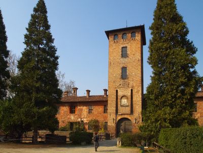
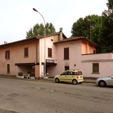
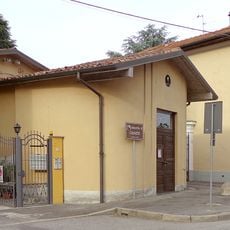
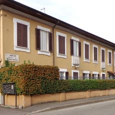
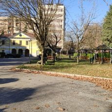
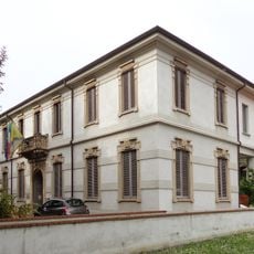
Peschiera Borromeo, Italian comune
Location: Metropolitan City of Milan
Elevation above the sea: 107 m
Shares border with: Mediglia, Milan, Pioltello, Rodano, San Donato Milanese, Pantigliate, Segrate
Website: http://comune.peschieraborromeo.it
GPS coordinates: 45.43333,9.31667
Latest update: April 12, 2025 05:22
Milano San Felice
4.4 km
Parco Forlanini
5.3 km
Borromeo Castle
1.2 km
Mondadori headquarters
4.8 km
Pieve di San Donato
4.6 km
San Riccardo Pampuri church
1.2 km
Sacro Cuore in Ponte Lambro Church
4.3 km
Oasi Levadina
3.3 km
Sant’Ambrogio church
3.7 km
Sant’Enrico church
3.8 km
Madonna Aiuto dei Cristiani Church
1.7 km
Santi Cosma e Damiano Church
730 m
San Donato new church
4.5 km
Chiesa della Madonna di Fatima
572 m
Sant’Alberto Magno church
5.2 km
Santi Pietro e Paolo church
2.3 km
Biblioteca Comunale "Simona Orlandi"
4.1 km
San Michele church
2.2 km
Colonna a grandi fogli
4.8 km
Santa Famiglia di Gesù, Maria e Giuseppe Church
300 m
Antica Osteria di Canzo
2.4 km
Madonna delle Vittorie chapel
2.4 km
San Martino church
1.7 km
San Donato Vescovo e Martire Church
4.6 km
Via IV Novembre 2
2.4 km
Cascina Ospedaletto
4.3 km
Santa Croce Church
4.1 km
Former town hall
3.8 kmReviews
Visited this place? Tap the stars to rate it and share your experience / photos with the community! Try now! You can cancel it anytime.
Discover hidden gems everywhere you go!
From secret cafés to breathtaking viewpoints, skip the crowded tourist spots and find places that match your style. Our app makes it easy with voice search, smart filtering, route optimization, and insider tips from travelers worldwide. Download now for the complete mobile experience.
A unique approach to discovering new places❞
— Le Figaro
All the places worth exploring❞
— France Info
A tailor-made excursion in just a few clicks❞
— 20 Minutes