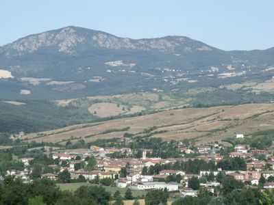
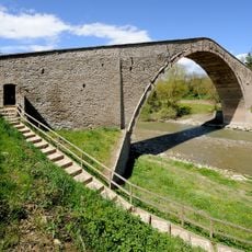
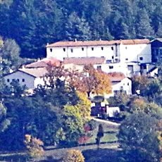
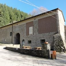
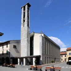
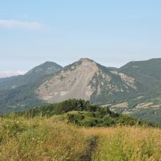
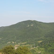
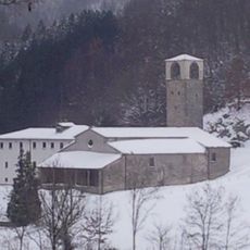
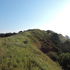
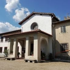
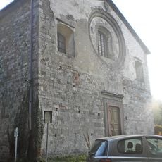
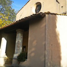
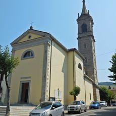
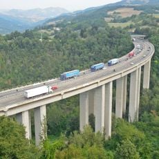
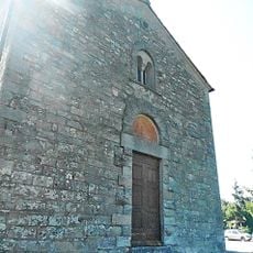
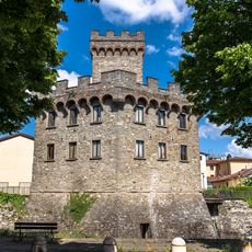
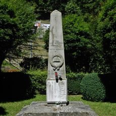
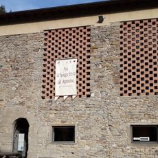
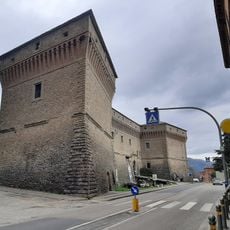
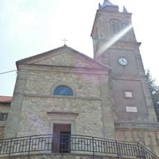
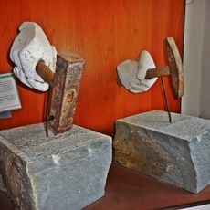
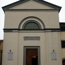
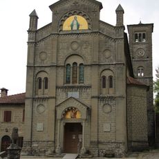
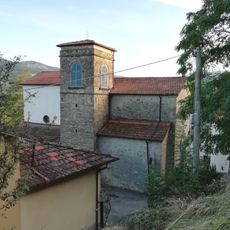
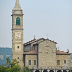
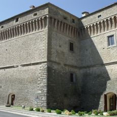
Firenzuola, Italian comune
Location: Metropolitan City of Florence
Capital city: Firenzuola
Elevation above the sea: 422 m
Shares border with: Barberino di Mugello, Borgo San Lorenzo, Castel del Rio, Castiglione dei Pepoli, Monghidoro, Monterenzio, Palazzuolo sul Senio, San Benedetto Val di Sambro, Scarperia, Scarperia e San Piero
Website: http://comune.firenzuola.fi.it
GPS coordinates: 44.11968,11.38185
Latest update: March 4, 2025 17:41
Futapass German military cemetery
9.2 km
Santuario della Beata Vergine delle Grazie di Boccadirio
13.8 km
Sasso di San Zanobi
8.7 km
Ponte degli Alidosi
14.5 km
Villa Panna
9.7 km
San Pietro
6.1 km
San Giovanni Battista
231 m
Monte Beni
6.3 km
Monte Oggioli
7.8 km
San Giovanni Decollato
4.2 km
Monte Canda
6.6 km
Santa Lucia
10.3 km
San Gavino Adimari
13.1 km
Santi Michele e Gavino
12.7 km
San Benedetto
16 km
Rio Voglio Viaduct
14.7 km
Santa Maria a Marcoiano
9.8 km
Palazzo Pretorio
411 m
Monument to the Fallen of Covigliaio
6.3 km
Museum of the Historical Landscape of the Apennines
6.1 km
Castel del Rio
14.3 km
San Gregorio Magno Church
14.5 km
Museum of Pietra Serena
323 m
San Michele (Montalbano, Firenzuola)
9 km
Sant’Andrea Apostolo
11.2 km
Chiesa di Santa Maria
13.1 km
San Giovanni Battista Church
14.5 km
Palazzo Alidosi
14.3 kmReviews
Visited this place? Tap the stars to rate it and share your experience / photos with the community! Try now! You can cancel it anytime.
Discover hidden gems everywhere you go!
From secret cafés to breathtaking viewpoints, skip the crowded tourist spots and find places that match your style. Our app makes it easy with voice search, smart filtering, route optimization, and insider tips from travelers worldwide. Download now for the complete mobile experience.
A unique approach to discovering new places❞
— Le Figaro
All the places worth exploring❞
— France Info
A tailor-made excursion in just a few clicks❞
— 20 Minutes