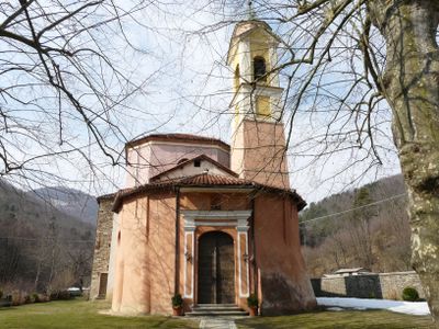
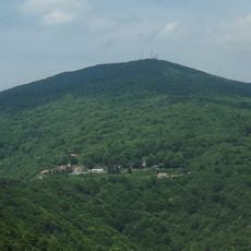
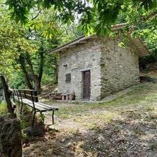
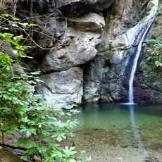
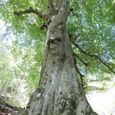
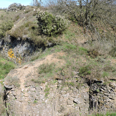
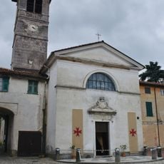
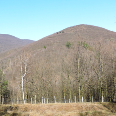
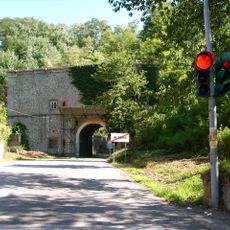
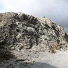
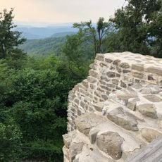
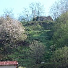
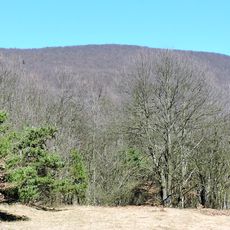
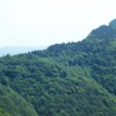
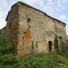
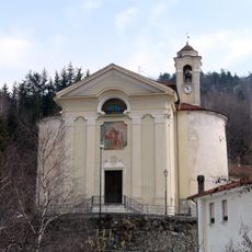
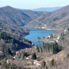
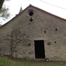
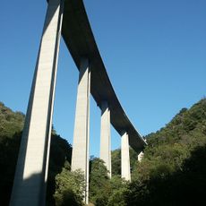
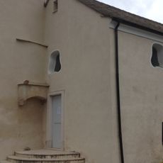
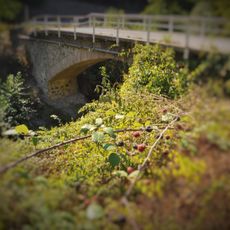
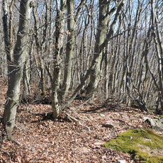
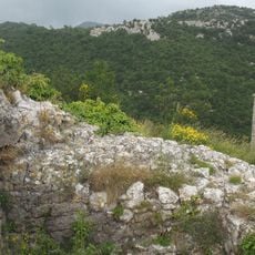
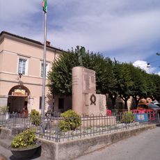
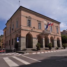
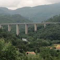
Mallare, Italian comune
Location: Province of Savona
Elevation above the sea: 450 m
Shares border with: Bormida, Carcare, Orco Feglino, Pallare, Altare, Calice Ligure, Quiliano
Email: protocollo@comune.mallare.sv.it
Website: http://comune.mallare.sv.it
GPS coordinates: 44.29161,8.29761
Latest update: April 14, 2025 20:39
Monte Settepani
9.5 km
Teccio del Tersè
3.6 km
Cascata della Donnaiola
5.9 km
Faggi di Benevento
3.1 km
Forte di Monte Burot
4.5 km
Abbazia di Ferrania
8.8 km
Bric della Croce
6.8 km
Forte Tagliata di Altare
6.3 km
Rocche Bianche
5.3 km
Castle of Cosseria
9.8 km
Altare Castle
6.3 km
Ronco di Maglio
6 km
Bric Gettina
9.4 km
Forte Baraccone
3.1 km
Santissimo Nome di Maria
8.1 km
Lago di Osiglia
8.2 km
San Lorenzino
9 km
Teccio Viaduct
6.9 km
San Pietro
7.7 km
Santa Maria Maddalena old oratory
8.6 km
Secondo ponte romano della Val Quazzola
9.1 km
Ronco di Maglio
4.4 km
Arte Vetraria Museum
6.1 km
Castle of Orco
8.9 km
Monumento ai Caduti
7.4 km
San Francesco d'Assisi
8.2 km
Town hall
7.4 km
Barelli Viaduct
8.6 kmReviews
Visited this place? Tap the stars to rate it and share your experience / photos with the community! Try now! You can cancel it anytime.
Discover hidden gems everywhere you go!
From secret cafés to breathtaking viewpoints, skip the crowded tourist spots and find places that match your style. Our app makes it easy with voice search, smart filtering, route optimization, and insider tips from travelers worldwide. Download now for the complete mobile experience.
A unique approach to discovering new places❞
— Le Figaro
All the places worth exploring❞
— France Info
A tailor-made excursion in just a few clicks❞
— 20 Minutes