Enable Location

We need your location to show you interesting places around you

Discover nearby places

Find interesting locations and hidden gems around you

Precise directions

Get accurate directions and distances to places

Your location is never shared with other users. It's only used when you tap the location button.

Urbanistica di Ferrara

Log in to your account

Start exploring — it's free

Trusted by 61,980 travelers worldwide

Continue with Google
Continue with Apple
or

We will send you a code to connect

By continuing, you accept our Terms and Conditions and our Privacy Policy

Check your inbox

We've sent a pincode in your inbox. Please enter the code below.

Urbanistica di Ferrara

Urbanistica di Ferrara, Renaissance urban design in Ferrara, Italy.

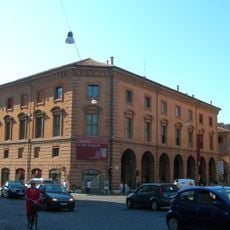
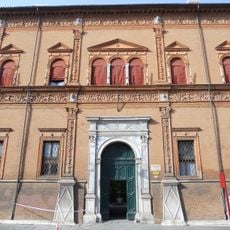
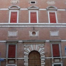
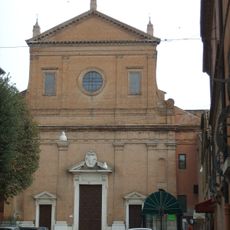
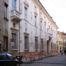
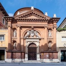
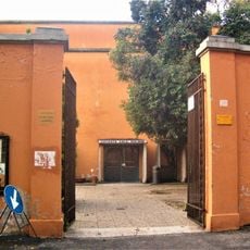
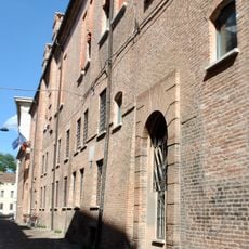
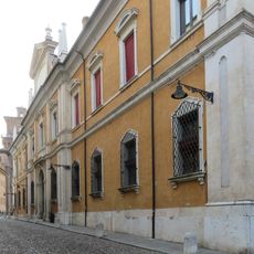
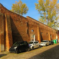
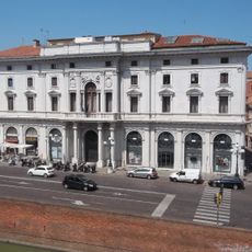
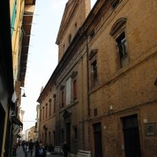
The urban planning of Ferrara is a city system built on wide, straight streets arranged in geometric patterns that create a grid-like layout. The design organizes residential neighborhoods, public squares, and important buildings into distinct zones that work together as a functional whole.

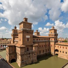
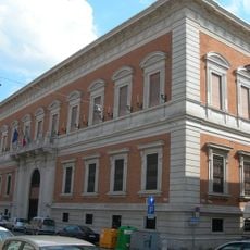
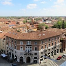
In the 15th century the Este family transformed Ferrara by creating a new model of city planning based on mathematical principles and rational order. This approach made the city a landmark example of modern urban design across Europe.

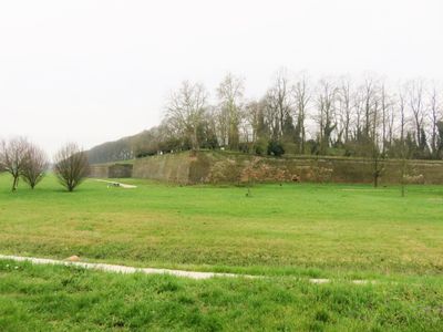
The wide streets and geometric squares of Ferrara show how Renaissance thinkers believed a properly designed city could improve daily life and social order. Even today you can see how the layout guides how people move through the city and gather in public spaces.

The best way to experience the city layout is to walk through the different neighborhoods, starting from the center and moving outward through the broader zones. Wear comfortable shoes as you will cover long straight streets, but the flat terrain makes walking easy throughout.

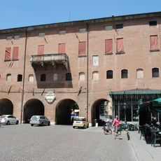
The Addizione Erculea neighborhood built in the 16th century was among the first urban projects in Europe to use strict mathematical calculations rather than tradition to design streets and public spaces. Architects from across Europe traveled to Ferrara to study this innovative approach to city building.

The community of curious travelers

AroundUs brings together thousands of curated places, local tips, and hidden gems, enriched daily by 60,000 contributors worldwide.

Start exploring
Location
GPS coordinates
44.83783,11.62190
Latest update
December 10, 2025 20:10
« Urbanistica di Ferrara - Renaissance urban design in Ferrara, Italy » is provided by Around Us (aroundus.com). Images and texts are derived from Wikimedia project under a Creative Commons license. You are allowed to copy, distribute, and modify copies of this page, under the conditions set by the license, as long as this note is clearly visible.

Discover hidden gems everywhere you go!

From secret cafés to breathtaking viewpoints, skip the crowded tourist spots and find places that match your style. Our app makes it easy with voice search, smart filtering, route optimization, and insider tips from travelers worldwide. Download now for the complete mobile experience.

Around Us App Screenshot

A unique approach to discovering new places

Le Figaro

All the places worth exploring

France Info

A tailor-made excursion in just a few clicks

20 Minutes

Around Us
Travel Guide & Maps
Download

Send to your phone

QR Code
1

Open the camera app on your mobile.

2

Point at the QR code with your camera. A notification will appear.

3

Tap the notification to open the link.