
Ontake Prefectural Natural Park, natural park of Nagano prefecture, Japan
Location: Kiso district
Location: Kiso
Location: Otaki
Inception: March 3, 1952
GPS coordinates: 35.89280,137.48030
Latest update: March 7, 2025 23:07

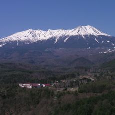
Mount Ontake
23 m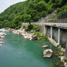
Kiso no Kakehashi
21 km
Tsukechi Gorge
21.9 km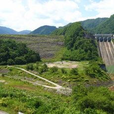
Makio Dam
13.4 km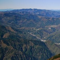
Mount Kohide
14.1 km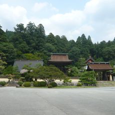
Zenshō-ji
23.2 km
Gero Onsen Gasshō-mura
22.8 km
Fukushima Castle
19.8 km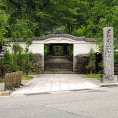
Kōzen-ji
20.6 km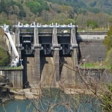
Kiso Dam
19.6 km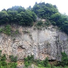
Gandate
13.7 km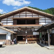
明治座 (岐阜県)
23.1 km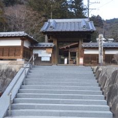
Yamamura Daikan Yashiki
20.2 km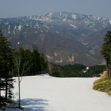
Mount Kamagamine
18.3 km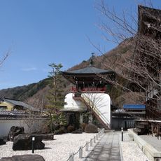
Chōfuku-ji
20.4 km
鳳凰座 (岐阜県)
20.6 km
Ontake Kyūkamura
6.8 km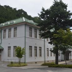
Goryōkan
20.6 km
地蔵寺
21.9 km
木曽町図書館
20.3 km
Kakehashi Ōhashi
20.5 km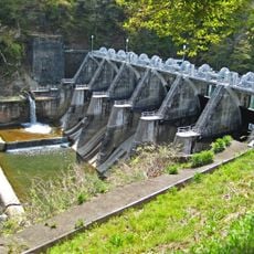
Tokiwa Dam
14.4 km
Agematsu Ōhashi
21.8 km
泰心寺
23.1 km
阿弥陀寺
19.9 km
慈雲院
21.5 km
Kisofukushima Folk Museum
20.5 km
長谷寺
20.8 kmVisited this place? Tap the stars to rate it and share your experience / photos with the community! Try now! You can cancel it anytime.
Discover hidden gems everywhere you go!
From secret cafés to breathtaking viewpoints, skip the crowded tourist spots and find places that match your style. Our app makes it easy with voice search, smart filtering, route optimization, and insider tips from travelers worldwide. Download now for the complete mobile experience.

A unique approach to discovering new places❞
— Le Figaro
All the places worth exploring❞
— France Info
A tailor-made excursion in just a few clicks❞
— 20 Minutes