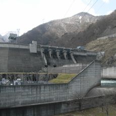
Ouchi Dam, Rock-fill dam in Shimogo, Japan.
Ouchi Dam is a rock-fill dam in Shimogo, Fukushima Prefecture, standing 102 meters tall and holding back the waters of the Agano River system. It serves as the upper reservoir of a pumped storage facility, storing water that is used to generate electricity.
Construction began in 1974 and the dam was completed in 1991, as part of a broader plan to improve electricity supply in the Tohoku region. The project was a direct response to Japan's growing energy demand in the second half of the 20th century.
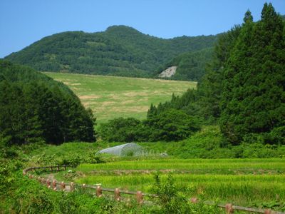
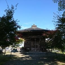
The reservoir sits close to Ouchi-juku, a village where old houses with thatched roofs line a single unpaved road. Visitors can walk through the village and see how the traditional architecture of the region has survived to this day.
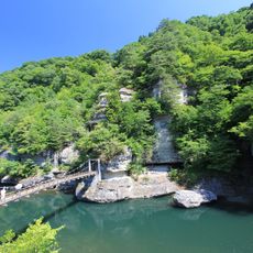
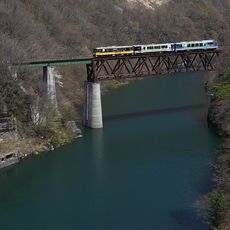
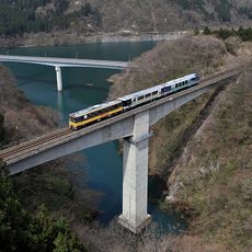
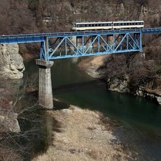
The nearest railway access point is Yunokami Onsen station, which makes a good base for visiting the area. Several viewpoints around the dam offer clear views of the structure and the reservoir behind it.
The facility is designed to pump water up to the upper reservoir at night, when electricity consumption is low, and release it during the day to generate power. This system works like a large rechargeable battery, storing surplus energy and releasing it when demand rises.
The community of curious travelers
AroundUs brings together thousands of curated places, local tips, and hidden gems, enriched daily by 60,000 contributors worldwide.