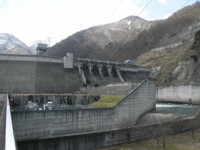
Okawa Dam, Combined dam in Fukushima Prefecture, Japan.
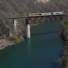
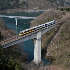
Okawa Dam spans across the Agano River in Fukushima Prefecture with a concrete structure that regulates water flow in the region. The installation includes a reservoir behind the main wall and serves multiple functions for local water management.
The dam was completed in 1987 as part of regional infrastructure expansion in Fukushima. Its construction marked a period when water management systems were being modernized across mountainous areas.
The structure embodies Japanese engineering traditions and shows how water management works in mountainous areas. It represents practical solutions that shaped infrastructure development across the prefecture.
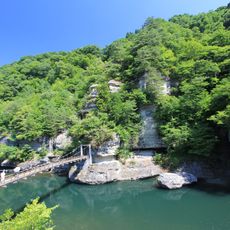
Personal transportation is necessary to reach the site, as public transit does not serve the immediate area. The remote location in mountainous terrain means visitors should plan extra time for arrival.
The dam was built by major Japanese construction companies including Kajima and Obayashi, showcasing specialized expertise in dam engineering. The work reflects how large-scale water projects were executed in difficult mountain terrain during that era.
The community of curious travelers
AroundUs brings together thousands of curated places, local tips, and hidden gems, enriched daily by 60,000 contributors worldwide.