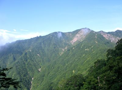
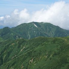
Mount Mikuni, Mountain summit in Iide, Kitakata and Aga, Japan.
Mount Mikuni is a summit standing at 1644 meters that straddles the borders of three prefectures. Its slopes display varying geological formations and natural features that hikers encounter along the climb.
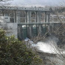
The mountain formed during the Miocene epoch through geological processes and has shaped the central Japan landscape ever since. Its position between three administrative regions made it historically significant as a boundary marker.
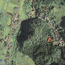
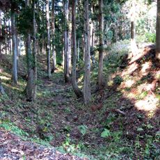
Local communities from three different prefectures maintain traditional hiking paths to the summit, marking boundaries between historical Japanese provinces.
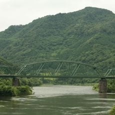
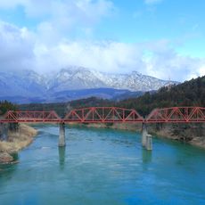
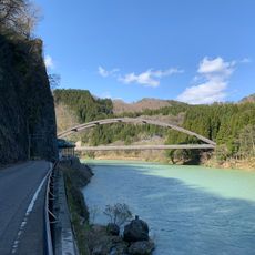
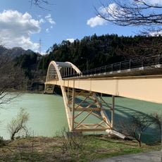
The mountain is accessible via several established trails from different starting points, each offering different routes to the summit. Topographic maps help with planning and navigation during your ascent.
The summit position creates a natural marker where three Japanese prefectures intersect, offering views spanning across multiple administrative regions.
The community of curious travelers
AroundUs brings together thousands of curated places, local tips, and hidden gems, enriched daily by 60,000 contributors worldwide.