Enable Location

We need your location to show you interesting places around you

Discover nearby places

Find interesting locations and hidden gems around you

Precise directions

Get accurate directions and distances to places

Your location is never shared with other users. It's only used when you tap the location button.

Izari-dake

Log in to your account

Start exploring — it's free

Trusted by 61,907 travelers worldwide

Continue with Google
Continue with Apple
or

We will send you a code to connect

By continuing, you accept our Terms and Conditions and our Privacy Policy

Check your inbox

We've sent a pincode in your inbox. Please enter the code below.

Izari-dake

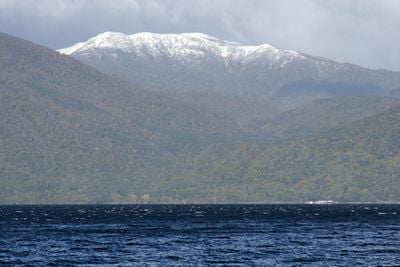
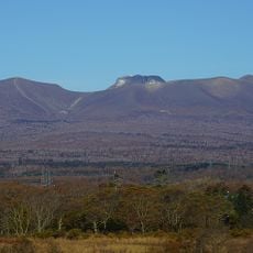
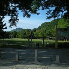
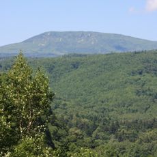
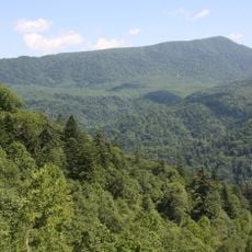
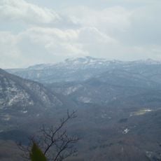
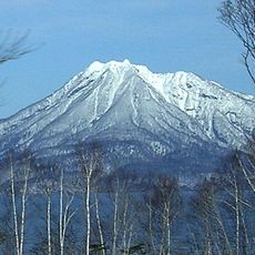
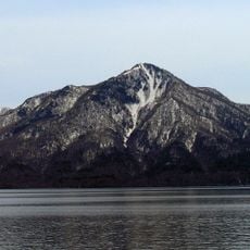
Izari-dake, Mountain summit in Eniwa, Japan.

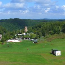
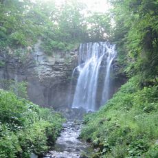
Izari-dake is a 1317-meter (4,321-foot) summit with multiple marked trails leading to the peak and offering views of Lake Okotanpe and the surrounding Hokkaido landscape. The different routes vary in difficulty and length, allowing visitors to choose their adventure based on their experience level.

The mountain was developed through decades of local exploration, with logging roads establishing the first access routes in the Hokkaido region. These early pathways formed the foundation for the hiking trails that exist today.

The mountain attracts local hikers who practice traditional climbing methods and mark trails with colored tape to guide others. The hiking community regularly shares route information and uses this place as a gathering point for outdoor activities.

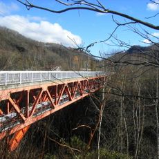
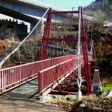
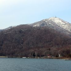
The site is accessible via Route 453 between Lake Shikotsu and Sapporo, with designated parking near the western trailhead area. Visitors should prepare for changing conditions and check trail conditions before heading out.

The summit offers two distinct climbing routes: a shorter southern path and the traditional Poropinai route equipped with fixed safety ropes. This safety infrastructure makes the classic ascent accessible to different types of hikers.

The community of curious travelers

AroundUs brings together thousands of curated places, local tips, and hidden gems, enriched daily by 60,000 contributors worldwide.

Start exploring
Location
Location
Location
Elevation above the sea
1,317.7 m
GPS coordinates
42.82115,141.23552
Latest update
December 12, 2025 17:48
« Izari-dake - Mountain summit in Eniwa, Japan » is provided by Around Us (aroundus.com). Images and texts are derived from Wikimedia project under a Creative Commons license. You are allowed to copy, distribute, and modify copies of this page, under the conditions set by the license, as long as this note is clearly visible.

Discover hidden gems everywhere you go!

From secret cafés to breathtaking viewpoints, skip the crowded tourist spots and find places that match your style. Our app makes it easy with voice search, smart filtering, route optimization, and insider tips from travelers worldwide. Download now for the complete mobile experience.

Around Us App Screenshot

A unique approach to discovering new places

Le Figaro

All the places worth exploring

France Info

A tailor-made excursion in just a few clicks

20 Minutes

Around Us
Travel Guide & Maps
Download

Send to your phone

QR Code
1

Open the camera app on your mobile.

2

Point at the QR code with your camera. A notification will appear.

3

Tap the notification to open the link.