Muine-yama, Mountain summit in Hokkaido, Japan
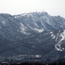
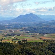
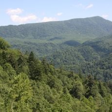
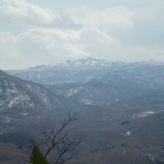
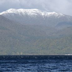
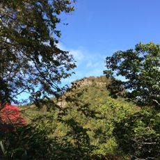
Muine-yama is a 1,464-metre mountain on the border of Sapporo's Minami-ku and Kyogoku, Hokkaido. Its flat summit runs about one kilometre north to south in a half-moon shape, and the eastern foot is a straight slope steeper than 25 degrees. The whole massif resembles an upturned winnowing basket, which is what the Ainu name Mui-ne-shiri means.
Muine-yama was built by two volcanic eruptions in the early Quaternary. The first extruded the Muine-yama basal lava through Miocene green tuff and andesite; the second laid the summit lava on top. The surrounding peaks Nagao-yama to the north and Naka-dake to the south were also formed by these lavas. The summit area is a flat, half-moon-shaped ridge about 1 km long.
The name comes from the Ainu mui-ne-shiri, "mountain shaped like a winnowing basket", written 無比寧山 in the 1870 Meiji-era text Ezo Sanmyakuki. Hikers sign the register at the log-built Hōrai hut on the Usubetsu route, and a cairn of Hokkaido University's ski mountaineering club stands at the southern end of the summit.
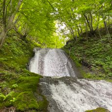
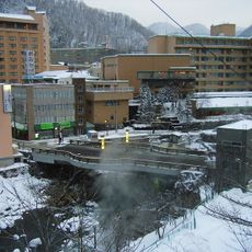
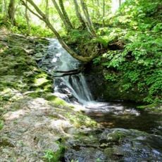
The mountain is accessible via the Usubetsu Route starting from Jozenkey onsen, with clear trail markers guiding you through different elevation zones. The path moves through varying forest types and is generally well-maintained.
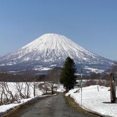
The summit plateau is flat and crescent-shaped, and the mountain looks like an upturned winnowing basket, which is what the Ainu name Mui-ne-shiri means. About 250 metres past the treeless summit, at the old triangulation-point peak, there is a view of Mount Yotei and the Niseko range; a cairn built by Hokkaido University's ski club stands at the southern end.
The community of curious travelers
AroundUs brings together thousands of curated places, local tips, and hidden gems, enriched daily by 93,648 contributors worldwide.