Enable Location

We need your location to show you interesting places around you

Discover nearby places

Find interesting locations and hidden gems around you

Precise directions

Get accurate directions and distances to places

Your location is never shared with other users. It's only used when you tap the location button.

Mount Nokanoike

Log in to your account

Start exploring — it's free

Trusted by 62,822 travelers worldwide

Continue with Google
Continue with Apple
or

We will send you a code to connect

By continuing, you accept our Terms and Conditions and our Privacy Policy

Check your inbox

We've sent a pincode in your inbox. Please enter the code below.

Mount Nokanoike

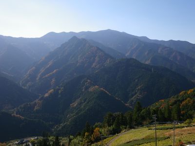
Mount Nokanoike, Mountain summit in Tokushima Prefecture, Japan.

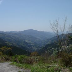
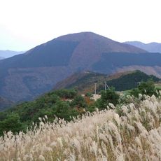
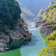
Mount Nokanoike rises to 1294 meters between Tokushima and Kochi Prefectures with multiple hiking trails threading through dense woodland and rocky areas. The landscape transitions from thick forest cover at lower elevations to more exposed rocky terrain as you climb higher.

The mountain has served as a natural boundary marker between Tokushima and Kochi Prefectures since Japan established its modern prefecture system in 1871. This geographic role shaped the administrative division of the region for more than a century.

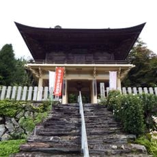
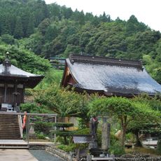
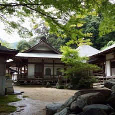
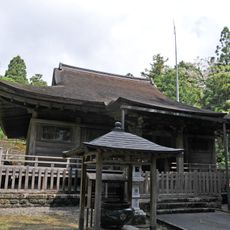
Local communities practice mountain worship through seasonal ceremonies at specific spots along the hiking routes. These traditions show how people see the mountain as a living part of their spiritual life.

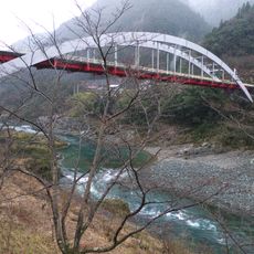
Hiking trails begin from multiple access points in and around Miyoshi city with parking areas and rest facilities at the main trailhead locations. Bring plenty of water and sturdy footwear since the terrain can be steep and rocky throughout much of the climb.

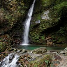
The mountain contains several natural pools near its peak formed by rainwater collecting in rock depressions. These small water features support distinctive ecosystems of specialized mountain plants that thrive at this elevation.

The community of curious travelers

AroundUs brings together thousands of curated places, local tips, and hidden gems, enriched daily by 60,000 contributors worldwide.

Start exploring
Location
Location
Elevation above the sea
1,294.37 m
GPS coordinates
33.85185,133.70727
Latest update
December 14, 2025 20:01
« Mount Nokanoike - Mountain summit in Tokushima Prefecture, Japan » is provided by Around Us (aroundus.com). Images and texts are derived from Wikimedia project under a Creative Commons license. You are allowed to copy, distribute, and modify copies of this page, under the conditions set by the license, as long as this note is clearly visible.

Discover hidden gems everywhere you go!

From secret cafés to breathtaking viewpoints, skip the crowded tourist spots and find places that match your style. Our app makes it easy with voice search, smart filtering, route optimization, and insider tips from travelers worldwide. Download now for the complete mobile experience.

Around Us App Screenshot

A unique approach to discovering new places

Le Figaro

All the places worth exploring

France Info

A tailor-made excursion in just a few clicks

20 Minutes

Around Us
Travel Guide & Maps
Download

Send to your phone

QR Code
1

Open the camera app on your mobile.

2

Point at the QR code with your camera. A notification will appear.

3

Tap the notification to open the link.