Enable Location

We need your location to show you interesting places around you

Discover nearby places

Find interesting locations and hidden gems around you

Precise directions

Get accurate directions and distances to places

Your location is never shared with other users. It's only used when you tap the location button.

Log in to your account

Start exploring — it's free

Trusted by 64,751 travelers worldwide

Continue with Google
Continue with Apple
or

We will send you a code to connect

By continuing, you accept our Terms and Conditions and our Privacy Policy

Check your inbox

We've sent a pincode in your inbox. Please enter the code below.

Torryattobe Mountain
Discussion Reviews Photo
4k Popularity

Torryattobe Mountain, Mountain summit in Shimominotchi County, Japan.

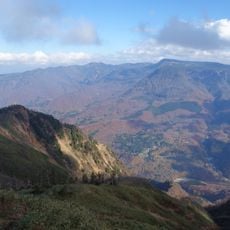
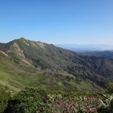
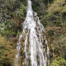
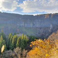
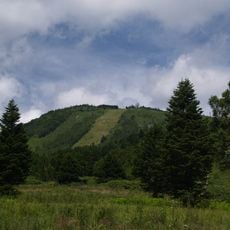
Torryattobe Mountain is a summit in Shimominotchi County, Nagano Prefecture, Japan, featuring rocky terrain and steep slopes. It sits within the Sakae area and forms part of a mountain landscape shaped by exposed rock faces and sharp ridgelines.

The mountain was shaped by geological forces that built up the mountain ranges of Nagano Prefecture over a very long period. The rock faces and ridges visible today are the result of that slow transformation of the land.

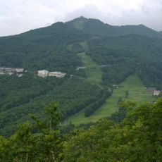
The mountain is listed among the 200 Famous Japanese Mountains, a selection that draws hikers from across the country who treat these summits as personal goals. Reaching such a peak is seen as a meaningful achievement in Japanese outdoor culture.

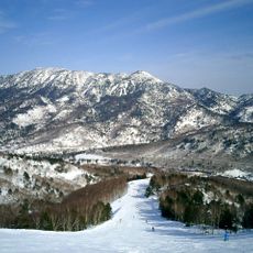
Summer is the most accessible season for hiking here, once snow has melted from the higher sections of the trail. The terrain is demanding, so sturdy footwear and gear suited for changing mountain weather are strongly recommended.

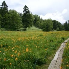
The summit lies within Joshin'etsu-kogen National Park, where the protected status has allowed plant species adapted to high-altitude rocky conditions to grow without disturbance. Hikers who look closely along the trail can spot low-growing vegetation that differs noticeably from what grows lower down.

The community of curious travelers

AroundUs brings together thousands of curated places, local tips, and hidden gems, enriched daily by 60,000 contributors worldwide.

Start exploring
Location
Shimominotchi County
Elevation above the sea
2,037.6 m
GPS coordinates
36.83918,138.58398
Latest update
March 3, 2026 14:04
Reviews
Share your experience

No review yet

Discussions
Start a discussion...

No discussion yet

« Torryattobe Mountain - Mountain summit in Shimominotchi County, Japan » is provided by Around Us (aroundus.com). Images and texts are derived from Wikimedia project under a Creative Commons license. You are allowed to copy, distribute, and modify copies of this page, under the conditions set by the license, as long as this note is clearly visible.

Discover hidden gems everywhere you go!

From secret cafés to breathtaking viewpoints, skip the crowded tourist spots and find places that match your style. Our app makes it easy with voice search, smart filtering, route optimization, and insider tips from travelers worldwide. Download now for the complete mobile experience.

Around Us App Screenshot

A unique approach to discovering new places

Le Figaro

All the places worth exploring

France Info

A tailor-made excursion in just a few clicks

20 Minutes

Around Us
Travel Guide & Maps
Download

Send to your phone

QR Code
1

Open the camera app on your mobile.

2

Point at the QR code with your camera. A notification will appear.

3

Tap the notification to open the link.