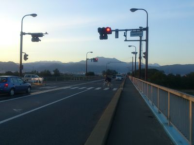
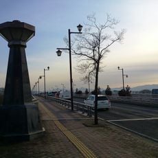
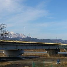
落合橋, Road bridge in Nagano, Japan
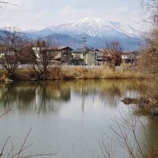
Ochiai Bridge is a road bridge in Nagano that spans across the area with nine abutments and fourteen piers supporting its steel and concrete structure. The crossing forms part of National Route 19 and handles regular traffic between different sections of the city.
The bridge was completed in 1997 and served as a key access point to bobsleigh competition venues during the 1998 Winter Olympics held in the region. The project was part of broader infrastructure preparations for hosting the international event.
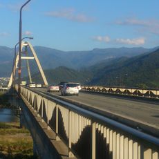
The bridge exemplifies Japanese engineering practices through its integration with the urban landscape and consideration for local transportation needs.
The bridge accommodates both vehicle and foot traffic daily as a standard part of the main road network. Visitors should expect typical conditions of a busy urban crossing.
The bridge incorporates a loop design that enables efficient traffic flow management while providing access to winter sports facilities.
The community of curious travelers
AroundUs brings together thousands of curated places, local tips, and hidden gems, enriched daily by 60,000 contributors worldwide.