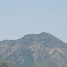
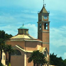
Monte Reixa, Mountain peak in Liguria, Italy
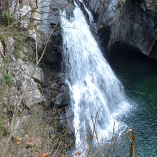
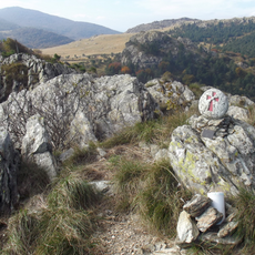
Monte Reixa rises to 1,183 meters within the Ligurian Apennines, marking a natural boundary between the municipalities of Sassello, Arenzano, and Genoa. The summit sits in an area with varied elevation zones and different rock formations that shape the surrounding landscape.
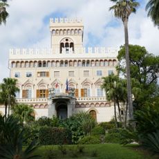
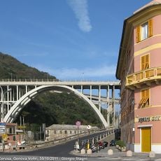
The mountain stood at the intersection of ancient trading routes that connected coastal settlements with inland communities through the Apennine range. These pathways shaped the development of the region across many centuries.
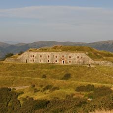
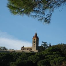
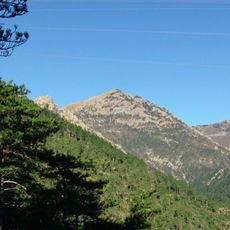
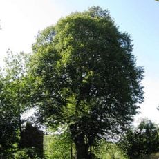
The mountain sits within the Beigua Natural Regional Park, where visitors can observe plants and rock formations typical of the Ligurian Apennines. Local trails reveal how the surrounding landscape has shaped the way people have lived and worked in this region.
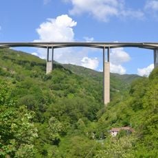
Multiple marked trails lead to the summit from places like Passo del Faiallo or Voltri. The Alta Via dei Monti Liguri long-distance trail passes nearby, offering options for hikes of varying length and difficulty.
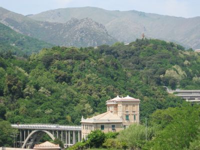
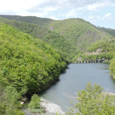
The northern slopes feed the Orba stream, which flows into the Tanaro basin and shapes the land below. This watercourse links the mountain area with river valleys further downstream.
The community of curious travelers
AroundUs brings together thousands of curated places, local tips, and hidden gems, enriched daily by 60,000 contributors worldwide.