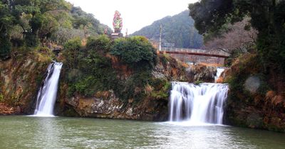
Todoroki Falls, شلال في يوريشينو، ساغا، اليابان
Location: Ureshino
Part of: Shiota River
GPS coordinates: 33.08818,129.97627
Latest update: March 7, 2025 23:06
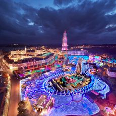
Huis Ten Bosch
17.7 km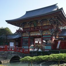
Yūtoku Inari Shrine
12.4 km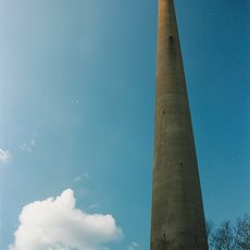
Hario Radio Tower
21.1 km
Nagasaki Bio Park
20.8 km
Saikai Bridge
20.8 km
Takeo City Library & Historical Museum
12.1 km
Kushima Castle
21.4 km
Meruhenmura
4.8 km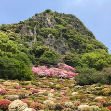
Mifuneyama Rakuen
11.2 km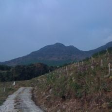
Mount Kyogatake
14.6 km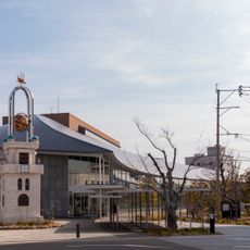
ミライon図書館
19.9 km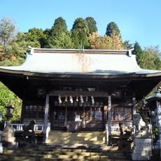
Tōzan Shrine
13.3 km
Arita Porcelain Park
10.6 km
Suko Castle
15.7 km
Kashima Castle
11 km
馬頭水利設施
19 km
Honkyō-ji
19.1 km
縫之池
14.9 km
Arita Ceramic Museum
13.5 km
西岡家住宅
9.1 km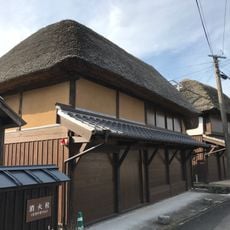
Hamashozumachi Hamakanayamachi
13.4 km
Hamanakamachi Hachihongishuku
13 km
Arita no Icho
13.4 km
嬉野総合運動公園
2.5 km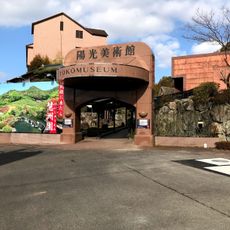
Keishuen Garden
11.4 km
Kyushu Ceramic Museum
13.5 km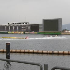
Boat Race Omura
21.4 km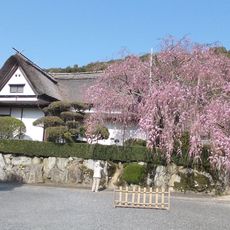
Kakiemon Kiln Site
14.4 kmReviews
Visited this place? Tap the stars to rate it and share your experience / photos with the community! Try now! You can cancel it anytime.
Discover hidden gems everywhere you go!
From secret cafés to breathtaking viewpoints, skip the crowded tourist spots and find places that match your style. Our app makes it easy with voice search, smart filtering, route optimization, and insider tips from travelers worldwide. Download now for the complete mobile experience.

A unique approach to discovering new places❞
— Le Figaro
All the places worth exploring❞
— France Info
A tailor-made excursion in just a few clicks❞
— 20 Minutes