
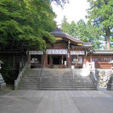
最勝寺, 埼玉県越生町にある真言宗智山派の寺院
Website: http://www9.plala.or.jp/saisyouji/
Website: http://www9.plala.or.jp/saisyouji
GPS coordinates: 35.97161,139.26867
Latest update: May 12, 2025 10:00

Koma Shrine
9.5 km
Saitama Children's Zoo
9.9 km
Mount Hiwada
9.3 km
Sugaya Yakata
8.7 km
Maruki Gallery for the Hiroshima Panels
9.8 km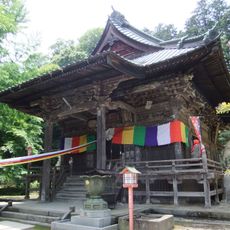
Shōbō-ji
9.1 km
Kanhassyu Miharashidai
5 km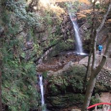
Three Waterfalls of Kuroyama
4 km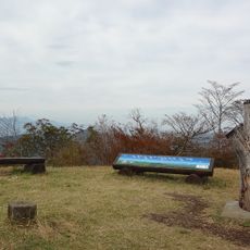
Mount Dōdaira
8 km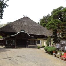
Tenryū-ji
10.1 km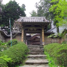
Jikō-ji
5.5 km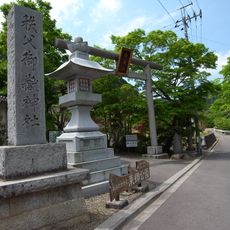
東鄉公園
8.1 km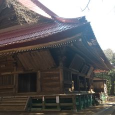
Jōraku-in
5.7 km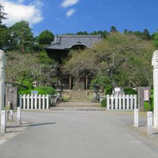
Shōden-in
9.6 km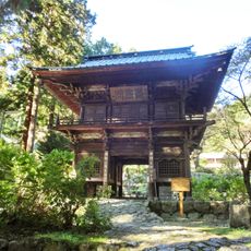
Ryūon-ji
2.9 km
Mount Monomi
9.1 km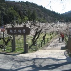
Ogose Plum Grove
510 m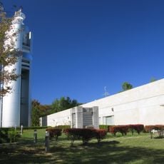
Peace Museum of Saitama
9.2 km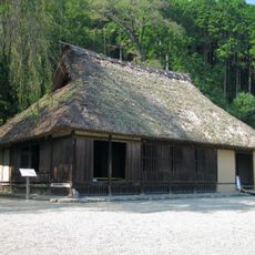
Koma Family Residence
9.4 km
Ogura Castle
7.3 km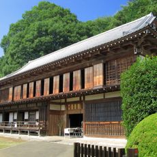
Komagō Old Traditional House
10.2 km
Daito Bunka University Beatrix Potter Reference Library
10 km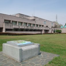
Saitama Prefectural Ranzan Historical Museum
8.8 km
Koma Village Stone Age Dwelling Site
10.4 km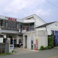
Soy Sauce Kingdom
8.7 km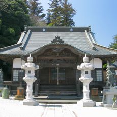
法恩寺
2.8 km
Seiganji
9.7 km
Dai no Kōsatsuba Ato
10.4 kmReviews
Visited this place? Tap the stars to rate it and share your experience / photos with the community! Try now! You can cancel it anytime.
Discover hidden gems everywhere you go!
From secret cafés to breathtaking viewpoints, skip the crowded tourist spots and find places that match your style. Our app makes it easy with voice search, smart filtering, route optimization, and insider tips from travelers worldwide. Download now for the complete mobile experience.

A unique approach to discovering new places❞
— Le Figaro
All the places worth exploring❞
— France Info
A tailor-made excursion in just a few clicks❞
— 20 Minutes