
Taehung County, county of North Korea
Location: South Pyongan Province
GPS coordinates: 40.08278,126.95111
Latest update: April 3, 2025 10:21
Gwanggaeto Stele
133.6 km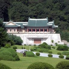
International Friendship Exhibition
63.1 km
Changjin Reservoir
50.9 km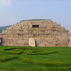
Capital Cities and Tombs of the Ancient Koguryo Kingdom
135.9 km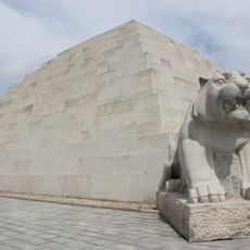
Mausoleum of Tangun
128.8 km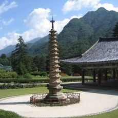
Bohyeonsa
61.6 km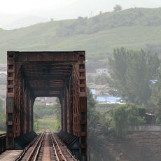
Ji'an Yalu River Border Railway Bridge
132.5 km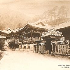
Sogwangsa
127.4 km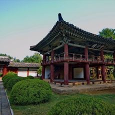
Hamhung Royal Villa
63.3 km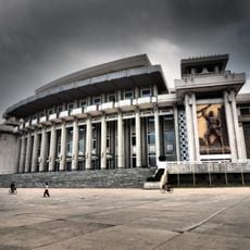
Hamhung Grand Theatre
53.3 km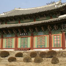
Anguksa
129.9 km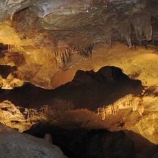
Songam Cavern
133.4 km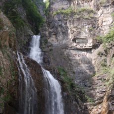
Ullim Falls
99.6 km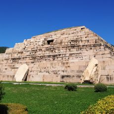
Ancient Tombs on the Donggou River
135.9 km
Songdowŏn
107.5 km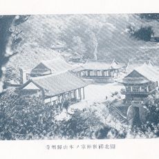
Kwijusa
63.5 km
Chei Changjin-ho
68.7 km
Pukmang Tower
110.7 km
Pujŏn-ho
77.3 km
Yŏnp'ung-ho
107.3 km
Nangnim-ho
90.5 km
P'ungsŏ-ho
129.5 km
Sŏŏsuri-chosuji
88.3 km
T'aech'ŏn-jŏsuji
122.9 km
Taesŏng-jŏsuji
130.1 km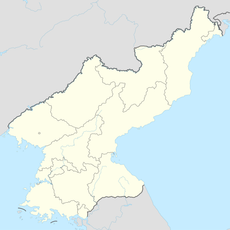
Tarŭn-jŏsuji
110.9 km
Naejungni-jŏsuji
129.9 km
Wiwŏn-jŏsuji
119.2 kmReviews
Visited this place? Tap the stars to rate it and share your experience / photos with the community! Try now! You can cancel it anytime.
Discover hidden gems everywhere you go!
From secret cafés to breathtaking viewpoints, skip the crowded tourist spots and find places that match your style. Our app makes it easy with voice search, smart filtering, route optimization, and insider tips from travelers worldwide. Download now for the complete mobile experience.

A unique approach to discovering new places❞
— Le Figaro
All the places worth exploring❞
— France Info
A tailor-made excursion in just a few clicks❞
— 20 Minutes