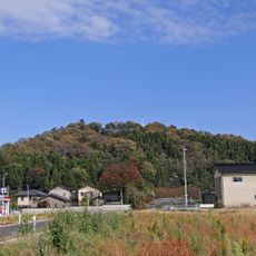
Mount Sōgadake, Mountain summit in Toyama Prefecture, Japan
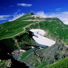
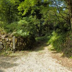
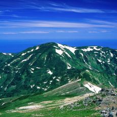
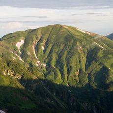
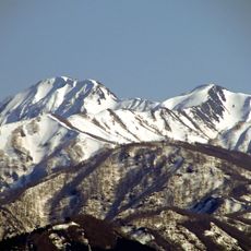
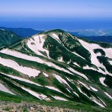
Mount Sōgadake is a summit in the Tateyama Mountains of Toyama Prefecture, rising to about 6,086 ft (1,855 m) with a network of hiking trails. The routes pass through forest and open terrain, offering a range of walking options depending on the season.
The mountain's name is rooted in Buddhist terminology linked to wandering monks, pointing to a long tradition of faith in this part of Japan. Over time, the peak became part of Sōgadake Prefectural Natural Park, gaining formal recognition as a protected area.
The name Sōgadake comes from a Buddhist word for a wandering monk, and this connection to faith still shapes how local communities relate to the mountain. Hikers who reach the top often find themselves at a place that feels meaningful beyond its natural setting.
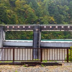
The trailheads can be reached from both Uozu and Kurobe, with parking available for those arriving by car. Trail conditions can change quickly with the weather, so checking for updates before setting out is a good habit.
The summit sits exactly on the border between Uozu and Kurobe, meaning that standing at the top puts you in two cities at once. This boundary runs right through the peak and is what originally drew attention to the spot as a natural landmark.
The community of curious travelers
AroundUs brings together thousands of curated places, local tips, and hidden gems, enriched daily by 60,000 contributors worldwide.