Olavsbu Felt 3, rock art in Luster, Vestland, Norway
Location: Luster Municipality
GPS coordinates: 61.47149,8.27502
Latest update: October 28, 2025 11:47
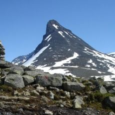
Kyrkja
7.8 km
Utladalen Landscape Protection Area
14.3 km
Storebjørn
11.2 km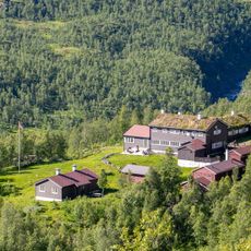
Skogadalsbøen
13.9 km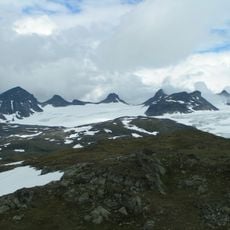
Smørstabbrean
12.2 km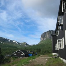
Gjendebu
11.5 km
Urdanostindene
8.3 km
Skarddalseggi
3.8 km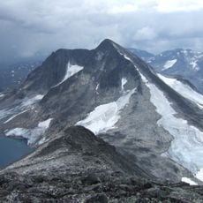
Semeltinden
8.4 km
Urdadalstindene
10.5 km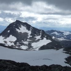
Mjølkedalstinden
1.9 km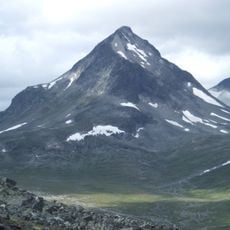
Tverrbytthornet
9.8 km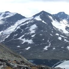
Skarddalstinden
3.1 km
Rundhøi
12.6 km
Olavsbu felt 7
78 m
Olavsbu 1 og 2
25 m
Olavsbu felt 6
123 m
Olavsbu felt 8 og 9
310 m
Olavsbu
66 m
Eidsbugarden
10.7 km
Gjendebu
11.6 km
Reinsbukken
10.3 km
Scenic viewpoint
7.8 km
Utsikten på Skjeneggen
13.7 km
Vinje-Utsikten
13.3 km
Scenic viewpoint
13.7 km
Scenic viewpoint
12.4 km
Tyinholmen-Utsikten
13.4 kmReviews
Visited this place? Tap the stars to rate it and share your experience / photos with the community! Try now! You can cancel it anytime.
Discover hidden gems everywhere you go!
From secret cafés to breathtaking viewpoints, skip the crowded tourist spots and find places that match your style. Our app makes it easy with voice search, smart filtering, route optimization, and insider tips from travelers worldwide. Download now for the complete mobile experience.

A unique approach to discovering new places❞
— Le Figaro
All the places worth exploring❞
— France Info
A tailor-made excursion in just a few clicks❞
— 20 Minutes