
Maungaroa, hill in the Waitākere Ranges, New Zealand
Location: Auckland Region
Elevation above the sea: 210 m
Part of: Waitākere Ranges
GPS coordinates: -36.94702,174.47662
Latest update: April 1, 2025 18:45
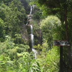
Kitekite Falls
1.9 km
Pukematekeo
9 km
Whites Beach
2.6 km
Upper Nihotupu Reservoir
7.8 km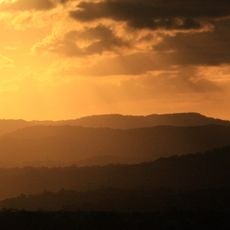
Te Toiokawharu
6.8 km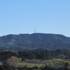
Ruaotuwhenua
7.3 km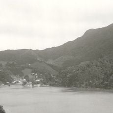
Mount Donald McLean
9.5 km
Ark in the Park
7.9 km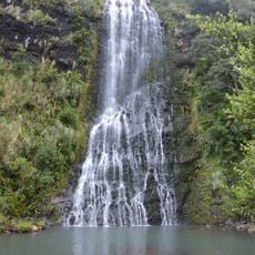
Karekare Falls
4.4 km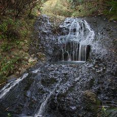
Opal Pool Stream Cascade
4.5 km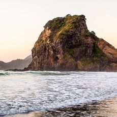
Lion Rock
1.1 km
The Cascades
7.5 km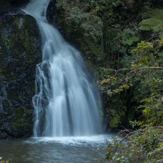
Nihotupu Falls
7.3 km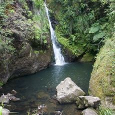
Karamatura Falls
8.4 km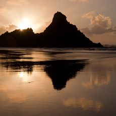
Panatahi Island
5.3 km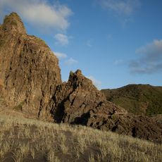
The Watchman
4.3 km
Company Stream
4.4 km
Waiti Stream
7.6 km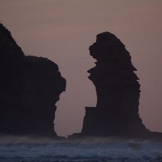
Nun Rock
2 km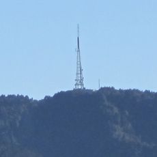
Waiatarua TV Tower
8.5 km
Parkinsons Lookout
8.4 km
North Piha Beach
1 km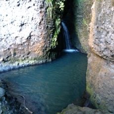
Cascade Stream
6.4 km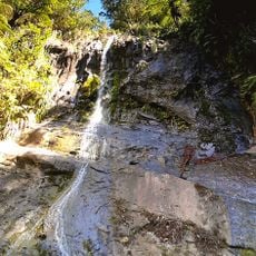
Fairy Falls Stream
7.8 km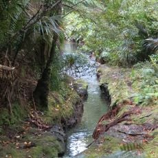
Glen Esk Stream
1.3 km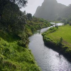
Karekare Stream
3.1 km
Wekatahi Creek
697 m
Karekare Beach
4.6 kmReviews
Visited this place? Tap the stars to rate it and share your experience / photos with the community! Try now! You can cancel it anytime.
Discover hidden gems everywhere you go!
From secret cafés to breathtaking viewpoints, skip the crowded tourist spots and find places that match your style. Our app makes it easy with voice search, smart filtering, route optimization, and insider tips from travelers worldwide. Download now for the complete mobile experience.

A unique approach to discovering new places❞
— Le Figaro
All the places worth exploring❞
— France Info
A tailor-made excursion in just a few clicks❞
— 20 Minutes