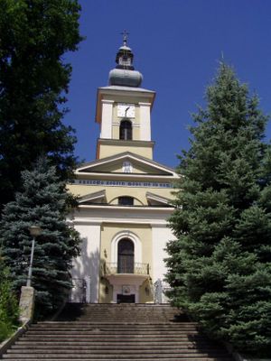
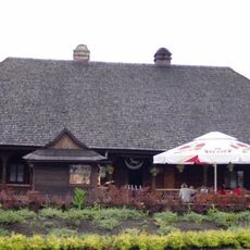
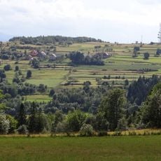
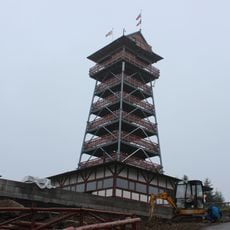
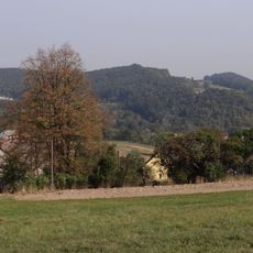
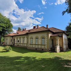
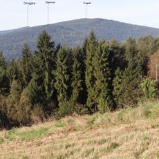
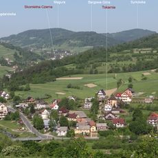
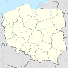
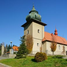
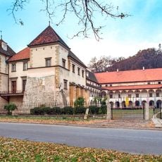
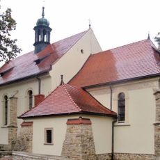
Maków Podhalański, city of Poland
Location: Gmina Maków Podhalański
Elevation above the sea: 455 m
Website: http://makow-podhalanski.um.pl
GPS coordinates: 49.73056,19.68083
Latest update: May 11, 2025 18:20
Maków Beskids
3.7 km
Sucha Beskidzka Castle
6 km
Rzym Inn in Sucha Beskidzka
5.9 km
Koskowa Góra
7.7 km
Beskidzki Raj Tower in Stryszawa
9.3 km
Church of the Visitation in Sucha Beskidzka
5.8 km
Kościół Przemienienia Pańskiego w Makowie Podhalańskim
356 m
Magurka
8.5 km
Mioduszyna
4.8 km
Kaplica Konfederatów Barskich na górze Jasień
6.9 km
Branicki Library
6 km
Cupel
9.2 km
38 Mickiewicza Street in Sucha Beskidzka
6.5 km
Groń (Stołowa Góra)
8.8 km
Old Visitation church in Sucha Beskidzka
5.8 km
Jasień
7 km
Willa Paczosówka w Makowie Podhalańskim
262 m
Judaszka
8.8 km
Gawron
9.2 km
Magurka (Pasmo Koskowej Góry)
7.9 km
Śmietarniak
8.9 km
Drobny Wierch
8.8 km
Syrkówka
8 km
Naroże
9.4 km
Oblak
8 km
Kościół parafialny Św. Trójcy w Bieńkówce
7 km
Sucha Beskidzka Castle
5.9 km
Kościół, ob. parafialny Nawiedzenia NMP
5.8 kmReviews
Visited this place? Tap the stars to rate it and share your experience / photos with the community! Try now! You can cancel it anytime.
Discover hidden gems everywhere you go!
From secret cafés to breathtaking viewpoints, skip the crowded tourist spots and find places that match your style. Our app makes it easy with voice search, smart filtering, route optimization, and insider tips from travelers worldwide. Download now for the complete mobile experience.
A unique approach to discovering new places❞
— Le Figaro
All the places worth exploring❞
— France Info
A tailor-made excursion in just a few clicks❞
— 20 Minutes