
Сельское поселение «Село Дуди», human settlement in Ulchsky District, Khabarovsk Krai, Russia
Location: Ulchsky District
Capital city: Dudi
GPS coordinates: 52.09306,140.20306
Latest update: April 2, 2025 12:15
Petroglyphs of Sikachi-Alyan
492.5 km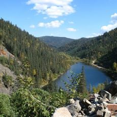
Lake Amut
300.2 km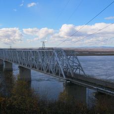
Komsomolsk-on-Amur road-rail bridge
285.3 km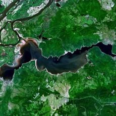
Lake Bolshoe Kizi
55.4 km
Bureya Nature Reserve
384.5 km
Bolon Nature Reserve
412.1 km
Shantar Islands National Park
369.6 km
Bureinsky Ridge
412.1 km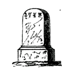
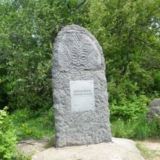
Yongning Temple Stele
98.9 km
Anyuysky National Park
391.2 km
Bolon
360.9 km
Botcha Nature Reserve
446 km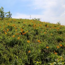
Komsomolsk Nature Reserve
223.8 km
Three Brothers Islands
188 km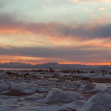
Poronaysky Reserve
466 km
Lake Evoron
263 km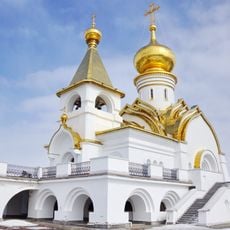
Saint Seraphim of Sarov church in Khabarovsk
539.9 km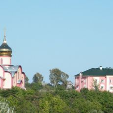
Petropavlovskiy Monastery (Khabarovsk Krai)
504.2 km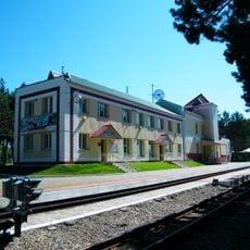
Far East Children's Railway
539.1 km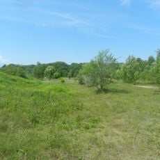
Силинский лес
277.6 km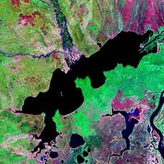
Lake Udyl
22.2 km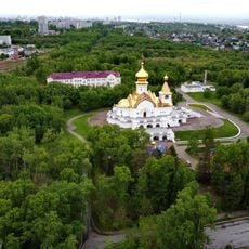
Park Severny, Khabarovsk
539.7 km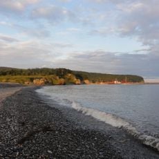
Zolotaya Cove
540.2 km
Lukashov Nature Park
538.8 km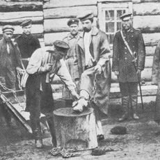
Sakhalin Penal Colony
280.2 km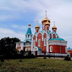
Orthodox cathedral of Saint Elijah the Prophet in Komsomolsk-on-Amur
274.6 km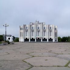
Drama Theatre of Komsomolsk-on-Amur
281.7 km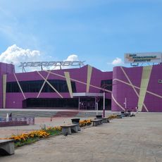
Kinoteatr Khabarovsk
539.4 kmReviews
Visited this place? Tap the stars to rate it and share your experience / photos with the community! Try now! You can cancel it anytime.
Discover hidden gems everywhere you go!
From secret cafés to breathtaking viewpoints, skip the crowded tourist spots and find places that match your style. Our app makes it easy with voice search, smart filtering, route optimization, and insider tips from travelers worldwide. Download now for the complete mobile experience.

A unique approach to discovering new places❞
— Le Figaro
All the places worth exploring❞
— France Info
A tailor-made excursion in just a few clicks❞
— 20 Minutes