
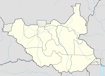
Budi County, place in Namorunyang State, South Sudan
Location: Eastern Equatoria
Elevation above the sea: 1,148 m
GPS coordinates: 4.25611,33.45611
Latest update: June 5, 2025 16:09
Lira
233.5 km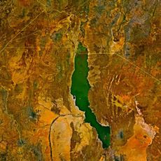
Lomekwi
268.6 km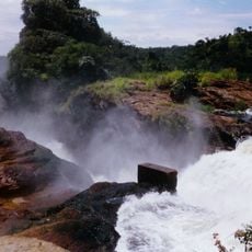
Murchison Falls
295.2 km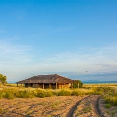
Koobi Fora
305.2 km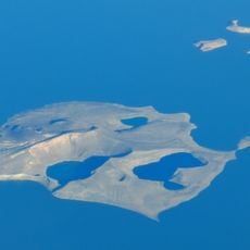
Central Island
300.1 km
Boma National Park
253.7 km
Bandingilo National Park
185.1 km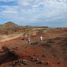
Lothagam North Pillar Site
276.7 km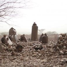
Namoratunga
276.7 km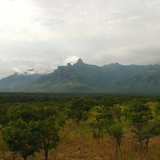
Mount Moroto
241.9 km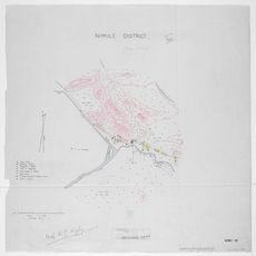
Nimule National Park
178.5 km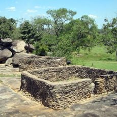
Baker's Fort
187.2 km
Juba Nile Bridge
214.5 km
St. Theresa Cathedral, Juba
215.5 km
Lapurr Sandstone
260.2 km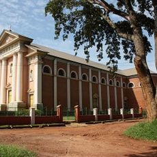
St. Joseph's Cathedral, Gulu
213.1 km
Kinyeti
69.7 km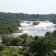
Karuma Falls
262 km
Vale Inferior do Omo
285.2 km
Juba Game Reserve
221.2 km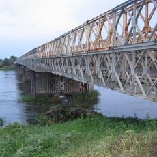
Juba Bridge
214.5 km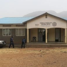
Karamoja Regional Museum
236.5 km

Agu
98.3 km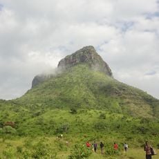
Akisim Mountain
252.2 km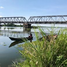
Albert Nile Bridge
294.8 km
Loka Forest Reserve
280.2 km
Atalochulo
243.7 kmReviews
Visited this place? Tap the stars to rate it and share your experience / photos with the community! Try now! You can cancel it anytime.
Discover hidden gems everywhere you go!
From secret cafés to breathtaking viewpoints, skip the crowded tourist spots and find places that match your style. Our app makes it easy with voice search, smart filtering, route optimization, and insider tips from travelers worldwide. Download now for the complete mobile experience.

A unique approach to discovering new places❞
— Le Figaro
All the places worth exploring❞
— France Info
A tailor-made excursion in just a few clicks❞
— 20 Minutes