Philipsburg, Capital city of Sint Maarten
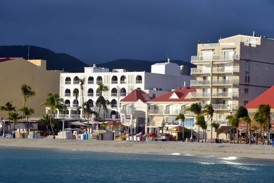
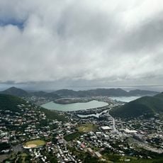
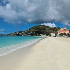
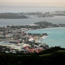
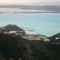
Philipsburg is the capital of Sint Maarten, built on a narrow strip of land between Great Bay and the Great Salt Pond on the island's southern coast. The town stretches along the waterfront, giving views of the sea from nearly every point, and its harbor regularly receives large cruise ships.
Philipsburg was founded in 1763 by John Philips, a Scottish captain serving in the Dutch navy who was looking for a good trading port. The town grew quickly into a busy stop for ships coming from around the world.
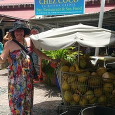
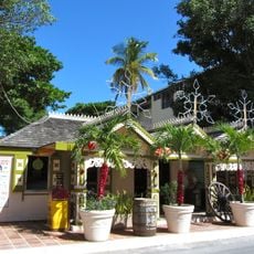
Front Street is the main shopping street in Philipsburg and is known for its duty-free shops selling goods from around the world at no extra tax. Narrow alleyways branch off from it, leading to small flower-filled courtyards that offer a quiet break from the busy shops.
Philipsburg is easy to explore on foot, as the main street and the waterfront are close together and the town itself is compact. Visiting on a weekday when fewer cruise ships are docked tends to make walking around more relaxed.
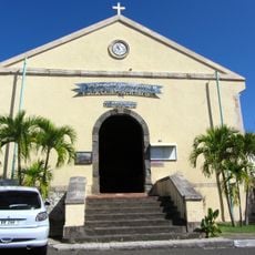
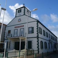
The Courthouse on Front Street was built in 1793 and is one of the oldest surviving buildings in town, recognizable by its white wooden walls and a small cupola on top. It still functions as an active courthouse today, meaning it has served the same purpose for over 2 centuries.
The community of curious travelers
AroundUs brings together thousands of curated places, local tips, and hidden gems, enriched daily by 60,000 contributors worldwide.