Enable Location

We need your location to show you interesting places around you

Discover nearby places

Find interesting locations and hidden gems around you

Precise directions

Get accurate directions and distances to places

Your location is never shared with other users. It's only used when you tap the location button.

Log in to your account

Start exploring — it's free

Trusted by 62,281 travelers worldwide

Continue with Google
Continue with Apple
or

We will send you a code to connect

By continuing, you accept our Terms and Conditions and our Privacy Policy

Check your inbox

We've sent a pincode in your inbox. Please enter the code below.

Krasnodarskyi

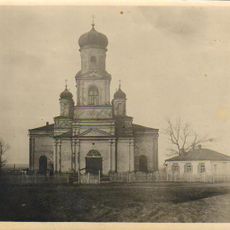
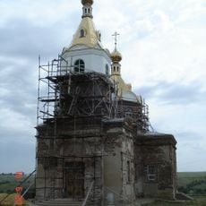
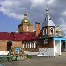
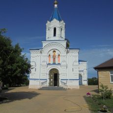
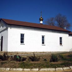
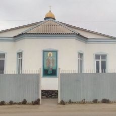
Krasnodarskyi, Settlement in Sorokyne urban hromada, Ukraine.

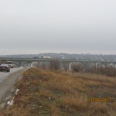
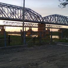
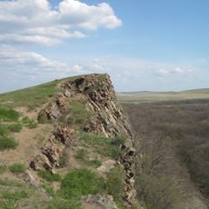
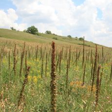
Krasnodarskyi is a settlement in the Sorokyne urban hromada located in eastern Ukraine's Luhansk Oblast region. The area sits at approximately 49 meters elevation within the Dovzhansk administrative district.

Ukraine's parliament enacted a significant administrative change in September 2024 by officially renaming the settlement to Prykordonne. This action was part of broader administrative reforms taking place in the region during that period.

The settlement reflects the linguistic diversity of eastern Ukraine, where Russian-language speakers form the majority of residents who maintain their own cultural traditions and social practices within the community.

The settlement uses postal code 94446 and operates in the UTC+2 time zone, which shifts to UTC+3 during daylight saving time. Visitors should note these details when planning communication or organizing local logistics.

The small community is home to approximately 325 residents and functions as an independent administrative unit within the larger Sorokyne urban hromada framework. Despite its modest size, the settlement maintains its administrative role and local community structure.

The community of curious travelers

AroundUs brings together thousands of curated places, local tips, and hidden gems, enriched daily by 60,000 contributors worldwide.

Start exploring
Elevation above the sea
49 m
GPS coordinates
48.29583,39.96556
Latest update
December 14, 2025 18:08
Around this place
Loga Park
Russian Federation

Loga Park

25.2 km
Izvaryne
Ukraine

Izvaryne

5.6 km
Ukraine

Teple

31.6 km
Young Guard memorial complex
Ukraine

Young Guard memorial complex

17 km
Provallya Steppe Nature Reserve
Ukraine

Provallya Steppe Nature Reserve

18 km
Volodarsky street 66, Kamensk-Shakhtinsky
Russian Federation

Volodarsky street 66, Kamensk-Shakhtinsky

22.6 km
"Legends of the USSR" Museum
Russian Federation

"Legends of the USSR" Museum

24.6 km
Каменский мостовой переход
Russian Federation

Каменский мостовой переход

25.6 km
Церковь Сергия Радонежского (Старая Станица)
Russian Federation

Церковь Сергия Радонежского (Старая Станица)

12.4 km
Karl Marx street 56, Kamensk-Shakhtinsky
Russian Federation

Karl Marx street 56, Kamensk-Shakhtinsky

22.6 km
Church of the Derzhavnaya Icon of the Theotokos
Russian Federation

Church of the Derzhavnaya Icon of the Theotokos

5.4 km
Каменский автогужевой мост
Russian Federation

Каменский автогужевой мост

22.6 km
Church of the Intercession
Russian Federation

Church of the Intercession

23.2 km
Exaltation of the Cross church, Astahov
Russian Federation

Exaltation of the Cross church, Astahov

30.4 km
Church of the Life-Giving Trinity
Russian Federation

Church of the Life-Giving Trinity

20.4 km
Church of the Dormition of the Theotokos
Russian Federation

Church of the Dormition of the Theotokos

7 km
Church of the Life-Giving Trinity
Russian Federation

Church of the Life-Giving Trinity

13 km
Monument to railwaymen
Russian Federation

Monument to railwaymen

22.8 km
Donetsk Museum of History and Ethnography
Russian Federation

Donetsk Museum of History and Ethnography

4.8 km
Simbahan sa Kazan icon sa Inahan sa Dios
Russian Federation

Simbahan sa Kazan icon sa Inahan sa Dios

28.5 km
Памятник участникам войны 1812 года
Russian Federation

Памятник участникам войны 1812 года

23.1 km
Saint George Church
Russian Federation

Saint George Church

25.9 km
Კამენსკ-შახტინსკის ქრისტეს შობის ეკლესია
Russian Federation

Კამენსკ-შახტინსკის ქრისტეს შობის ეკლესია

22.8 km
Церковь святой Анны Кашинской
Russian Federation

Церковь святой Анны Кашинской

26.1 km
Royal cliff
Ukraine

Royal cliff

16.3 km
Provalsky oak
Ukraine

Provalsky oak

17.2 km
Eremurusovyy slope
Ukraine

Eremurusovyy slope

22.1 km
Church of Saint Nicholas
Russian Federation

Church of Saint Nicholas

24.2 km
Show the full map
« Krasnodarskyi - Settlement in Sorokyne urban hromada, Ukraine » is provided by Around Us (aroundus.com). Images and texts are derived from Wikimedia project under a Creative Commons license. You are allowed to copy, distribute, and modify copies of this page, under the conditions set by the license, as long as this note is clearly visible.

Discover hidden gems everywhere you go!

From secret cafés to breathtaking viewpoints, skip the crowded tourist spots and find places that match your style. Our app makes it easy with voice search, smart filtering, route optimization, and insider tips from travelers worldwide. Download now for the complete mobile experience.

Around Us App Screenshot

A unique approach to discovering new places

Le Figaro

All the places worth exploring

France Info

A tailor-made excursion in just a few clicks

20 Minutes

Around Us
Travel Guide & Maps
Download

Send to your phone

QR Code
1

Open the camera app on your mobile.

2

Point at the QR code with your camera. A notification will appear.

3

Tap the notification to open the link.