
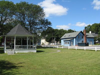
Freetown, town in Massachusetts
Location: Bristol County
Inception: 1659
Elevation above the sea: 50 m
Website: http://www.freetownma.gov/
Part of: South Coast
Website: http://freetownma.gov
GPS coordinates: 41.77278,-71.02722
Latest update: March 16, 2025 17:34
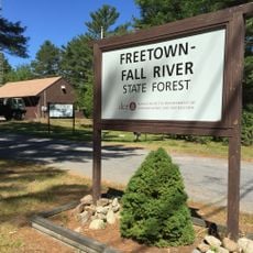
Freetown Fall River State Forest
1.4 km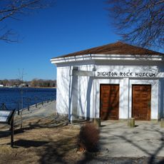
Dighton Rock State Park
7.9 km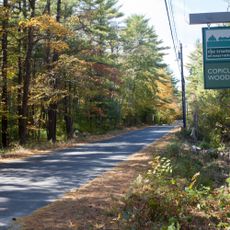
Copicut Woods
7.9 km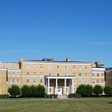
Truesdale Hospital
10.3 km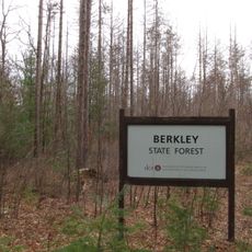
Berkley State Forest
7.1 km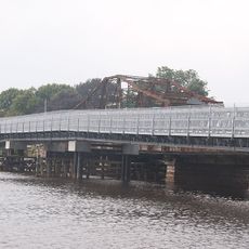
Berkley–Dighton Bridge
9.6 km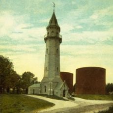
Fall River Waterworks
11 km
Dighton Community Church
9.8 km
Acushnet Cedar Swamp
10.6 km
Berkley–Dighton Bridge
9.6 km
North Christian Congregational Church
8.9 km
Hixville Village Historic District
10.1 km
Dighton Wharves Historic District
8.8 km
Ashley House
9.3 km
Town Hall
10.3 km
Borden-Winslow House
10.3 km
Coram Shipyard Historic District
8.7 km
Long Plain Friends Meetinghouse
10.8 km
North Rochester Congregational Church
11.1 km
Long Plain School
11.5 km
Somerset Village Historic District
8.2 km
Berkley Common Historic District
9.3 km
Luther Winslow, Jr., House
7.1 km
Hathaway Brightman House
10.4 km
William Collins House
10 km
Valentine-French House
7.4 km
Assonet Historic District
4.2 km
Great Quittacas Pond
11.2 kmReviews
Visited this place? Tap the stars to rate it and share your experience / photos with the community! Try now! You can cancel it anytime.
Discover hidden gems everywhere you go!
From secret cafés to breathtaking viewpoints, skip the crowded tourist spots and find places that match your style. Our app makes it easy with voice search, smart filtering, route optimization, and insider tips from travelers worldwide. Download now for the complete mobile experience.

A unique approach to discovering new places❞
— Le Figaro
All the places worth exploring❞
— France Info
A tailor-made excursion in just a few clicks❞
— 20 Minutes