
Taylor County, Administrative county in north-central West Virginia, US
Taylor County spans 176 square miles of steep hillsides and narrow valleys with an elevation of 332 meters above sea level.
The Virginia General Assembly established Taylor County on January 19, 1844, forming it from sections of Barbour, Harrison, and Marion counties.
The county features several historical landmarks and public spaces, including the Pleasant Creek Wildlife Management Area and the Tygart Lake recreation zones.
Residents access governmental services through multiple offices in Grafton, including the County Commission, County Clerk, and Sheriff's Department.
The first Union soldier killed in the Civil War, Thornsberry Bailey Brown, rests in the national cemetery at Grafton, Taylor County.
Location: West Virginia
Inception: January 19, 1844
Capital city: Grafton
Elevation above the sea: 332 m
Shares border with: Monongalia County, Barbour County, Preston County, Harrison County, Marion County
Website: http://taylorcounty.wv.gov
GPS coordinates: 39.34000,-80.05000
Latest update: March 19, 2025 23:51
Fairmont Senior High School
18 km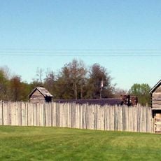
Prickett's Fort State Park
19.9 km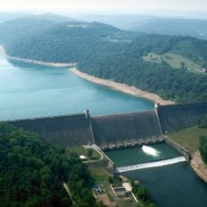
Tygart Lake State Park
4.6 km
Katherine Johnson IV&V Facility
16.2 km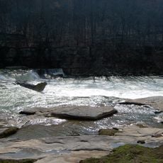
Valley Falls State Park
6.6 km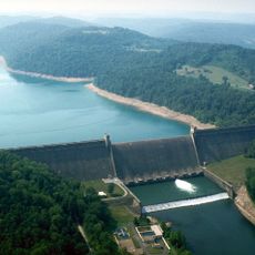
Tygart River Reservoir Dam
3.5 km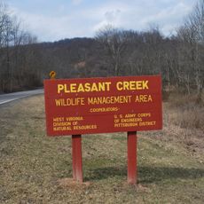
Pleasant Creek Wildlife Management Area
8.8 km
High Gate
17.4 km
Grafton National Cemetery
1.8 km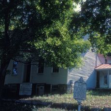
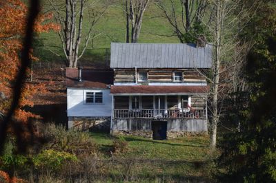
Anna Jarvis House
5.2 km
West Virginia National Cemetery
2 km
Adaland
15.6 km
Dunbar School
18.3 km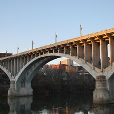
Robert H. Mollohan-Jefferson Street Bridge
17.7 km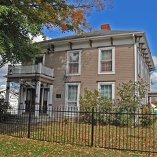
Governor Joseph Johnson House
19 km
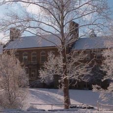
Fairmont Normal School Administration Building
18.5 km
Jacobs-Hutchinson Block
18 km
Fairmont Downtown Historic District
17.8 km
Thomas C. Miller Public School
18.4 km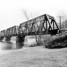
Fairmont Railroad Bridge
16.4 km
Fleming-Watson Historic District
17.7 km
Thomas W. Fleming House
17.8 km
Shaw House
17.2 km
Clelland House
10.7 km
Grafton Downtown Commercial Historic District
2.5 km
Colonial Apartments
18.8 km
Marion County Courthouse
18 km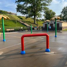
Splash Park
17.6 kmReviews
Visited this place? Tap the stars to rate it and share your experience / photos with the community! Try now! You can cancel it anytime.
Discover hidden gems everywhere you go!
From secret cafés to breathtaking viewpoints, skip the crowded tourist spots and find places that match your style. Our app makes it easy with voice search, smart filtering, route optimization, and insider tips from travelers worldwide. Download now for the complete mobile experience.

A unique approach to discovering new places❞
— Le Figaro
All the places worth exploring❞
— France Info
A tailor-made excursion in just a few clicks❞
— 20 Minutes