
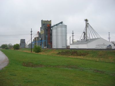
Velva, human settlement in McHenry County, North Dakota, United States of America
Location: McHenry County
Inception: 1897
Elevation above the sea: 461 m
Website: http://velva.net
GPS coordinates: 48.05806,-100.93000
Latest update: March 2, 2025 23:18
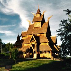
Scandinavian Heritage Park
33.1 km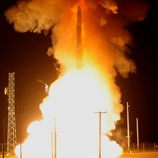
740th Missile Squadron
50.9 km
741st Missile Squadron
50.9 km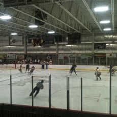
Maysa Arena
34.8 km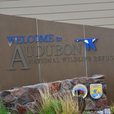
Audubon National Wildlife Refuge
55.1 km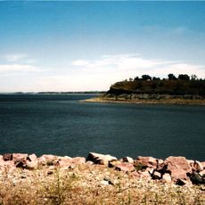
Lake Sakakawea State Park
71.1 km
Dakota Territory Air Museum
35.7 km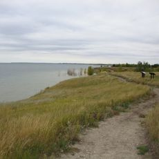
Fort Stevenson State Park
63.6 km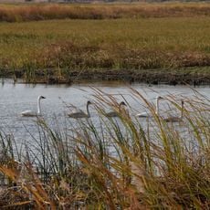
J. Clark Salyer National Wildlife Refuge
64.5 km
742d Missile Squadron
50.9 km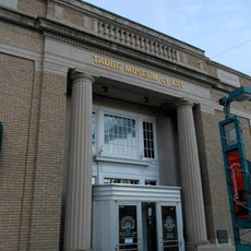
Taube Museum of Art
33.5 km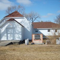
Liberty Baptist Church
37.6 km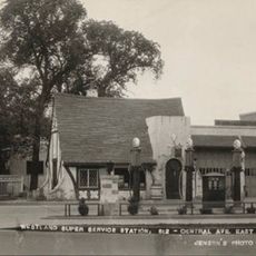
Westland Oil Filling Station
33 km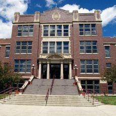
Old Main (Minot State University)
34.6 km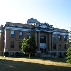
McHenry County Courthouse
50.3 km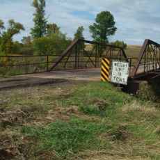
Westgaard Bridge
10.9 km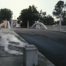
Eastwood Park Bridge
32.9 km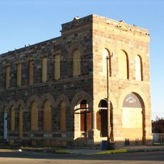
Granville State Bank
24.3 km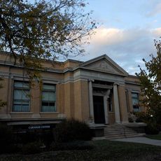
Minot Carnegie Library
33.2 km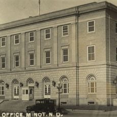
Bruce M. Van Sickle Federal Building and U.S. Courthouse
33.4 kmIngersoll School
67.5 km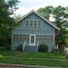
Alfred and Clara Sevareid House
376 m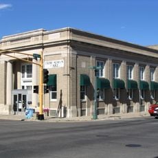
Union National Bank and Annex
33.5 km
Tufveson House
34.3 km
Andrew Carr, Sr., House
34.3 km
Ward County Courthouse
32.9 km
Scandinavian Heritage Association
33 km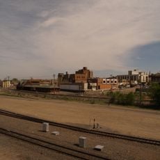
Minot Industrial Historic District
33.3 kmVisited this place? Tap the stars to rate it and share your experience / photos with the community! Try now! You can cancel it anytime.
Discover hidden gems everywhere you go!
From secret cafés to breathtaking viewpoints, skip the crowded tourist spots and find places that match your style. Our app makes it easy with voice search, smart filtering, route optimization, and insider tips from travelers worldwide. Download now for the complete mobile experience.

A unique approach to discovering new places❞
— Le Figaro
All the places worth exploring❞
— France Info
A tailor-made excursion in just a few clicks❞
— 20 Minutes