Chenango Canal, canal in New York, United States of America
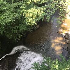
The Chenango Canal is a historic waterway in New York State that once linked the city of Utica to Binghamton. It runs through rolling hills and relied on a long series of locks to move boats up and then back down across the elevation changes along the route.
The canal was planned after the Erie Canal opened in 1825 and showed how waterways could reshape trade across the state. Work began in 1833 and the canal opened in 1837, but it lost traffic to railroads and stopped operating after roughly 4 decades of use.
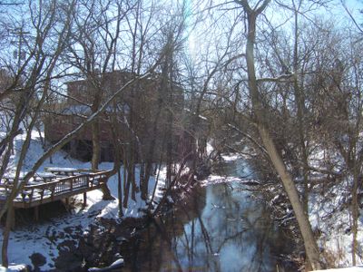
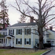
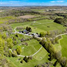
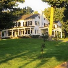
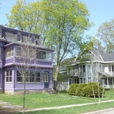
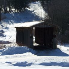
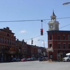
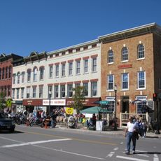
The canal takes its name from the Chenango River, which shaped the route the builders followed through the hills. Along the surviving sections, you can still see how small towns grew up around the waterway and how the old lock sites remain visible in the landscape.
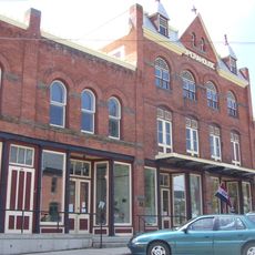
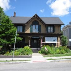
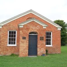
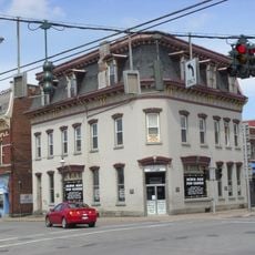
Remnants of the canal, including old lock sites and sections of the canal bed, can be found near Deansboro and Oriskany Falls. A small museum in Bouckville, set inside a former barbershop, has exhibits and audio stories tied to points along the walking trail.
The canal was dug by Irish and Scottish immigrants using pickaxes and shovels, and at one point the workers went on strike over the harsh conditions they faced. When the situation escalated near Deansville, the state sent soldiers to end the labor action.
The community of curious travelers
AroundUs brings together thousands of curated places, local tips, and hidden gems, enriched daily by 60,000 contributors worldwide.