Chest opened
+${chestReward.xp} XP
Explorer
NOUVEAU ×${chestReward.collectible.quantity}
tapez pour fermer

See the monuments around you in AR Open chests in the app

Around Us is built for your phone — point your camera at the streets and discover the monuments and places around you in augmented reality. Around Us is built for your phone — chests unlock when you walk, explore and capture nearby places.

Enable Location

We need your location to show you interesting places around you

Discover nearby places

Find interesting locations and hidden gems around you

Precise directions

Get accurate directions and distances to places

Your location is never shared with other users. It's only used when you tap the location button.

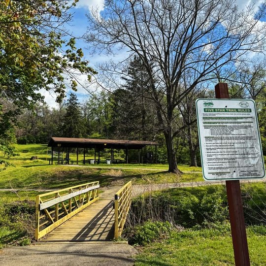
Five Star Trail

Log in to your account

Start exploring — it's free

Trusted by 85,914 travelers worldwide

Continue with Google
Continue with Apple
or

We will send you a code to connect

By continuing, you accept our Terms and Conditions and our Privacy Policy

Check your inbox

We've sent a pincode in your inbox. Please enter the code below.

Five Star Trail
Discussion Reviews 1 Photos
2.8k Popularity

Five Star Trail, Rail trail in Westmoreland County, Pennsylvania, United States

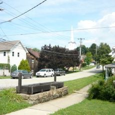
Five Star Trail is a rail trail in Westmoreland County that spans roughly 8 miles from Greensburg to Youngwood through several towns. The path follows the route of a former railroad line and passes through developed areas and open landscapes.

A railroad corridor served the region for many decades before the company eventually abandoned it. In 1995, five neighboring communities came together to transform the abandoned tracks into a recreational path.

The trail passes through five towns that worked together to create this shared community space, reflecting local pride in their joint effort. Each municipality contributed to shaping how people use and care for this path today.

You can enter the trail at several locations along Route 119, with the main trailhead at Lynch Field in Greensburg offering parking. This starting point connects easily to nearby restaurants and shops in town.

The trail runs alongside an active railroad line, meaning you may see trains passing by during your walk. A branch of the path also leads to the Westmoreland County Community College campus, giving it a purpose beyond recreation.

The community of curious travelers

AroundUs brings together thousands of curated places, local tips, and hidden gems, enriched daily by 60,000 contributors worldwide.
Start exploring
Location
Reference
FST
GPS coordinates
40.23951,-79.57564
Latest update
September 10, 2026 00:13
Around this place
Bushy Run Battlefield
United States of America

Bushy Run Battlefield

8.3 mi
United States of America

Trump House

11.4 mi
West Overton
United States of America

West Overton

8.5 mi
Westmoreland County Courthouse
United States of America

Westmoreland County Courthouse

4.6 mi
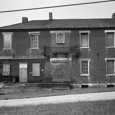
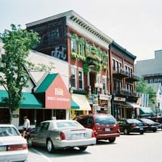
Greensburg Downtown Historic District
United States of America

Greensburg Downtown Historic District

4.7 mi
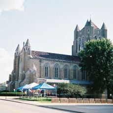
Cathedral of the Blessed Sacrament
United States of America

Cathedral of the Blessed Sacrament

4.9 mi
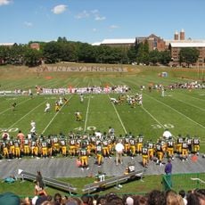
Chuck Noll Field
United States of America

Chuck Noll Field

9.8 mi
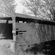
Bells Mills Covered Bridge
United States of America

Bells Mills Covered Bridge

7.2 mi
Academy Hill Historic District
United States of America

Academy Hill Historic District

5.2 mi
Site of Old Hannastown
United States of America

Site of Old Hannastown

8.1 mi
Brush Hill
United States of America

Brush Hill

8.4 mi
Fairview Park
United States of America

Fairview Park

11.6 mi
Citizens National Bank of Latrobe
United States of America

Citizens National Bank of Latrobe

11.4 mi
Mount Pleasant Historic District
United States of America

Mount Pleasant Historic District

6.5 mi
St. Vincent Archabbey Gristmill
United States of America

St. Vincent Archabbey Gristmill

9.9 mi
Brush Creek Salems Church
United States of America

Brush Creek Salems Church

7 mi
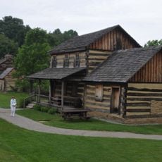
Adam Fisher Homestead
United States of America

Adam Fisher Homestead

4.1 mi
Salem Crossroads Historic District
United States of America

Salem Crossroads Historic District

11.9 mi
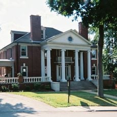
Samuel Warden House
United States of America

Samuel Warden House

6.5 mi
Hannastown Farm
United States of America

Hannastown Farm

8.7 mi
Westmoreland Museum of American Art
United States of America

Westmoreland Museum of American Art

4.9 mi
Historic Hanna's Town
United States of America

Historic Hanna's Town

8 mi
Palace Theatre
United States of America

Palace Theatre

4.7 mi
United States of America

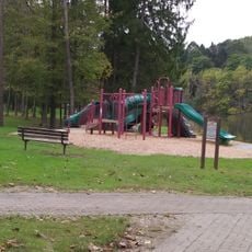
Twin Lakes Park

7.7 mi
United States of America

Donald C. Duncan House

9.9 mi
United States of America

Mammoth County Park

6.5 mi
Big Mac Museum
United States of America

Big Mac Museum

8.3 mi
United States of America

Scenic viewpoint

10 mi
Show the full map
Reviews
Share your experience

No review yet

Discussions
Start a discussion...

No discussion yet

« Five Star Trail - Rail trail in Westmoreland County, Pennsylvania, United States » is provided by Around Us (aroundus.com). Images and texts are derived from Wikimedia project under a Creative Commons license. You are allowed to copy, distribute, and modify copies of this page, under the conditions set by the license, as long as this note is clearly visible.

Discover hidden gems everywhere you go!

From secret cafés to breathtaking viewpoints, skip the crowded tourist spots and find places that match your style. Our app makes it easy with voice search, smart filtering, route optimization, and insider tips from travelers worldwide. Download now for the complete mobile experience.

Around Us App Screenshot

A unique approach to discovering new places

Le Figaro

All the places worth exploring

France Info

A tailor-made excursion in just a few clicks

20 Minutes

Around Us
Travel Guide & Maps
Download

Send to your phone

QR Code
1

Open the camera app on your mobile.

2

Point at the QR code with your camera. A notification will appear.

3

Tap the notification to open the link.