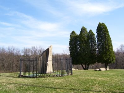
Bushy Run Battlefield, National Historic Landmark battlefield in Westmoreland County, Pennsylvania, United States.
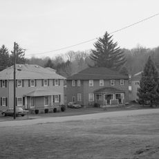
Bushy Run Battlefield is a historic battlefield in Westmoreland County, Pennsylvania, made up of open meadows, wooded sections, and walking trails. The terrain itself shaped how the fighting unfolded, and the land today still shows the ridges and clearings that defined the conflict.
The battle fought here in August 1763 was part of Pontiac's Rebellion, a coordinated effort by several Native nations to push back against British expansion after the French and Indian War. The British force, led by Colonel Henry Bouquet, managed to hold its ground and secure the region west of the Alleghenies.
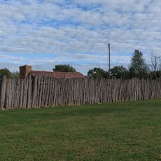
The name Bushy Run comes from the small creek that still runs through the grounds today. Walking the trails, visitors pass the same ridge lines and open fields that the opposing forces moved through during the fighting.
The site is best explored on foot, and comfortable shoes are a good idea since the paths cross both wooded and open ground. A visitor center near the entrance gives a clear starting point before heading out onto the trails.
Bouquet ordered a staged retreat during the second day of fighting, drawing the opposing warriors into an open position where hidden flanking troops were waiting. This tactic, unusual for European armies of the time, was later studied in military manuals as an example of forest warfare.
The community of curious travelers
AroundUs brings together thousands of curated places, local tips, and hidden gems, enriched daily by 60,000 contributors worldwide.