Chest opened
+${chestReward.xp} XP
Explorer
NOUVEAU ×${chestReward.collectible.quantity}
tapez pour fermer

See the monuments around you in AR Open chests in the app

Around Us is built for your phone — point your camera at the streets and discover the monuments and places around you in augmented reality. Around Us is built for your phone — chests unlock when you walk, explore and capture nearby places.

Enable Location

We need your location to show you interesting places around you

Discover nearby places

Find interesting locations and hidden gems around you

Precise directions

Get accurate directions and distances to places

Your location is never shared with other users. It's only used when you tap the location button.

Log in to your account

Start exploring — it's free

Trusted by 85,380 travelers worldwide

Continue with Google
Continue with Apple
or

We will send you a code to connect

By continuing, you accept our Terms and Conditions and our Privacy Policy

Check your inbox

We've sent a pincode in your inbox. Please enter the code below.

Gull Island Shoal
Discussion Reviews Photo
2k Popularity

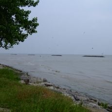
Gull Island Shoal, Submerged shoal in Lake Erie, US.

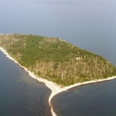
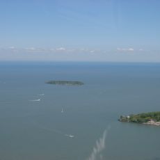
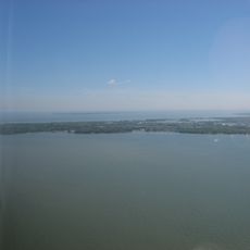
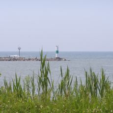
Gull Island Shoal is a submerged underwater ridge in Lake Erie situated between Middle Island and Kelleys Island. The formation stretches across the lake bottom with varying depths that create distinct fishing zones.

This formation was once an island above water but sank beneath the lake surface around 120 years ago. Natural erosion and shifting water levels caused it to gradually submerge over time.

The waters surrounding Gull Island Shoal attract fishing enthusiasts who target walleye and perch using specific techniques and equipment throughout the seasons.

Access to this location requires a boat, and navigation equipment is essential for finding the exact spot. Visit during calmer weather conditions and stable seasons to ensure safe water conditions.

Older maps occasionally still label this location as Gull Island even though it has been underwater for over a century. These outdated names serve as reminders that water once covered dry land in this spot.

The community of curious travelers

AroundUs brings together thousands of curated places, local tips, and hidden gems, enriched daily by 60,000 contributors worldwide.
Start exploring
GPS coordinates
41.65980,-82.68730
Latest update
August 31, 2026 00:13
Around this place
Middle Island
Canada

Middle Island

1.6 mi
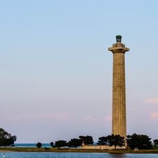
Perry's Victory and International Peace Memorial
United States of America

Perry's Victory and International Peace Memorial

6.4 mi
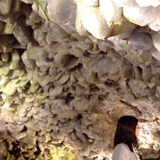
Crystal Cave
United States of America

Crystal Cave

7.3 mi
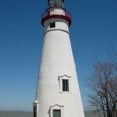
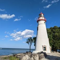
Marblehead Light
United States of America

Marblehead Light

8.6 mi
East Harbor State Park
United States of America

East Harbor State Park

10 mi
Marblehead Lighthouse
United States of America

Marblehead Lighthouse

8.6 mi
Green Island
United States of America

Green Island

9.2 mi
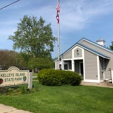
Kelleys Island State Park
United States of America

Kelleys Island State Park

4.1 mi
South Bass Island Light
United States of America

South Bass Island Light

8.2 mi
Jay Cooke House
United States of America

Jay Cooke House

6.9 mi
Inscription Rock
United States of America

Inscription Rock

4.7 mi
Catawba Island State Park
United States of America

Catawba Island State Park

10.6 mi
Fort Sandoské
United States of America

Fort Sandoské

8.9 mi
Green Island Light
United States of America

Green Island Light

9.4 mi
Benajah Wolcott House
United States of America

Benajah Wolcott House

10.5 mi
First Congregational Church
United States of America

First Congregational Church

8.5 mi
Johnson's Island Confederate Cemetery
United States of America

Johnson's Island Confederate Cemetery

11.2 mi
Perry's memorial lighthouse
United States of America

Perry's memorial lighthouse

6.4 mi
Phare de Sandusky Harbor
United States of America

Phare de Sandusky Harbor

11.1 mi
Orchestra Hall
United States of America

Orchestra Hall

8.6 mi
Marblehead Lighthouse State Park
United States of America

Marblehead Lighthouse State Park

8.7 mi
Kelleys Island South Shore Historic District
United States of America

Kelleys Island South Shore Historic District

4.7 mi
The Island House
United States of America

The Island House

4.7 mi
First Battle Site
United States of America

First Battle Site

10.5 mi
Oak Point State Park
United States of America

Oak Point State Park

6.9 mi
Kellys Island Branch
United States of America

Kellys Island Branch

3.9 mi
Glacial Grooves State Memorial
United States of America

Glacial Grooves State Memorial

3.2 mi
Kelleys Island Historic District
United States of America

Kelleys Island Historic District

4.6 mi
Show the full map
Reviews
Share your experience

No review yet

Discussions
Start a discussion...

No discussion yet

« Gull Island Shoal - Submerged shoal in Lake Erie, US » is provided by Around Us (aroundus.com). Images and texts are derived from Wikimedia project under a Creative Commons license. You are allowed to copy, distribute, and modify copies of this page, under the conditions set by the license, as long as this note is clearly visible.

Discover hidden gems everywhere you go!

From secret cafés to breathtaking viewpoints, skip the crowded tourist spots and find places that match your style. Our app makes it easy with voice search, smart filtering, route optimization, and insider tips from travelers worldwide. Download now for the complete mobile experience.
Around Us App Screenshot

A unique approach to discovering new places

Le Figaro

All the places worth exploring

France Info

A tailor-made excursion in just a few clicks

20 Minutes

Around Us
Travel Guide & Maps
Download

Send to your phone

QR Code
1

Open the camera app on your mobile.

2

Point at the QR code with your camera. A notification will appear.

3

Tap the notification to open the link.