Chest opened
+${chestReward.xp} XP
Explorer
NOUVEAU ×${chestReward.collectible.quantity}
tapez pour fermer

See the monuments around you in AR Open chests in the app

Around Us is built for your phone — point your camera at the streets and discover the monuments and places around you in augmented reality. Around Us is built for your phone — chests unlock when you walk, explore and capture nearby places.

Enable Location

We need your location to show you interesting places around you

Discover nearby places

Find interesting locations and hidden gems around you

Precise directions

Get accurate directions and distances to places

Your location is never shared with other users. It's only used when you tap the location button.

Lock and Dam No. 18

Log in to your account

Start exploring — it's free

Trusted by 86,727 travelers worldwide

Continue with Google
Continue with Apple
or

We will send you a code to connect

By continuing, you accept our Terms and Conditions and our Privacy Policy

Check your inbox

We've sent a pincode in your inbox. Please enter the code below.

Discussion Reviews 1 Photos
2.7k Popularity

Lock and Dam No. 18, Navigation lock and historic district in Gladstone, Illinois, United States

Lock and Dam No. 18 is a navigation facility on the Mississippi River near Gladstone that manages water flow and boat passage. The structure consists of multiple gates designed to raise and lower vessels safely between different water levels.

The facility was built between 1934 and 1937 by the United States Army Corps of Engineers. It emerged from a major effort to develop infrastructure and improve navigation along the Mississippi River during that period.

The 2,049-acre historic district encompasses one building, four structures, and four objects, representing early 20th-century engineering achievements on the National Register of Historic Places.

Visitors can watch commercial and recreational boats navigate through the locking system while the gates operate. The facility is most active during warmer months when river traffic increases, offering better chances to see the system in action.

The facility was one of many similar locks built across the Mississippi during the 1930s as part of a national effort to control river flow and improve commerce. This particular location represents the engineering innovations that were applied to navigation challenges of that era.

The community of curious travelers

AroundUs brings together thousands of curated places, local tips, and hidden gems, enriched daily by 60,000 contributors worldwide.

Start exploring
Location
Architects
United States Army Corps of Engineers
Elevation above the sea
161 m
GPS coordinates
40.88170,-91.02420
Latest update
September 12, 2026 09:51
Around this place
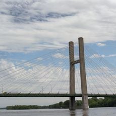
Great River Bridge
United States of America

Great River Bridge

6.1 mi
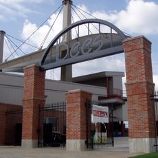
Community Field
United States of America

Community Field

7 mi
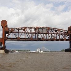
Burlington Rail Bridge
United States of America

Burlington Rail Bridge

6.8 mi
Crapo Park
United States of America

Crapo Park

8.4 mi
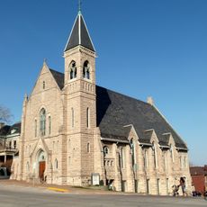
St. Paul's Catholic Church
United States of America

St. Paul's Catholic Church

6.3 mi
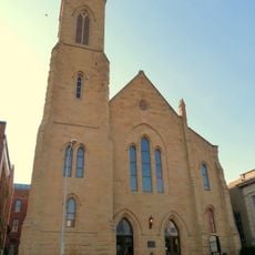
First Congregational Church
United States of America

First Congregational Church

6.5 mi
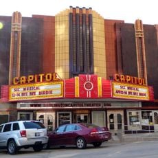
Capitol Theater
United States of America

Capitol Theater

6.5 mi
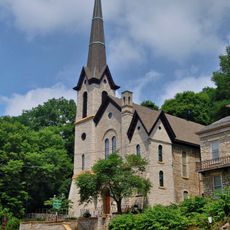
German Methodist Episcopal Church
United States of America

German Methodist Episcopal Church

6.5 mi
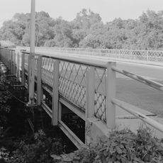
Cascade Bridge
United States of America

Cascade Bridge

8 mi
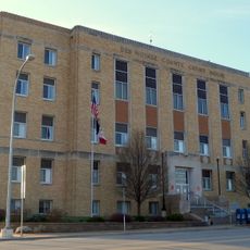
Des Moines County Court House
United States of America

Des Moines County Court House

6.3 mi
Burlington Public Library
United States of America

Burlington Public Library

6.4 mi
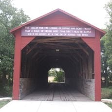
Oquawka Wagon Bridge
United States of America

Oquawka Wagon Bridge

4 mi
South Henderson Church
United States of America

South Henderson Church

5.8 mi
Heritage Hill Historic District
United States of America

Heritage Hill Historic District

6.3 mi
Alexis Phelps House
United States of America

Alexis Phelps House

5.4 mi
Christ Episcopal Church
United States of America

Christ Episcopal Church

6.3 mi
Snake Alley Historic District
United States of America

Snake Alley Historic District

6.4 mi
Downtown Commercial Historic District
United States of America

Downtown Commercial Historic District

6.4 mi
Augustus Caesar Dodge House
United States of America

Augustus Caesar Dodge House

6.2 mi
Henderson County Courthouse
United States of America

Henderson County Courthouse

5.2 mi
Mary Darwin House
United States of America

Mary Darwin House

7.3 mi
West Jefferson Street Historic District
United States of America

West Jefferson Street Historic District

6.5 mi
Jagger-Churchill House
United States of America

Jagger-Churchill House

6.1 mi
James M. Forney House
United States of America

James M. Forney House

7 mi
Starker–Leopold Historic District
United States of America

Starker–Leopold Historic District

7.1 mi
Abiathar and Nancy White House
United States of America

Abiathar and Nancy White House

6.2 mi
Burlington Rail Bridge (1893)
United States of America

Burlington Rail Bridge (1893)

6.8 mi
Burlington Rail Bridge (1867)
United States of America

Burlington Rail Bridge (1867)

6.8 mi
Show the full map
Reviews
Share your experience

No review yet

Discussions
Start a discussion...

No discussion yet

« Lock and Dam No. 18 - Navigation lock and historic district in Gladstone, Illinois, United States » is provided by Around Us (aroundus.com). Images and texts are derived from Wikimedia project under a Creative Commons license. You are allowed to copy, distribute, and modify copies of this page, under the conditions set by the license, as long as this note is clearly visible.

Discover hidden gems everywhere you go!

From secret cafés to breathtaking viewpoints, skip the crowded tourist spots and find places that match your style. Our app makes it easy with voice search, smart filtering, route optimization, and insider tips from travelers worldwide. Download now for the complete mobile experience.

Around Us App Screenshot

A unique approach to discovering new places

Le Figaro

All the places worth exploring

France Info

A tailor-made excursion in just a few clicks

20 Minutes

Around Us
Travel Guide & Maps
Download

Send to your phone

QR Code
1

Open the camera app on your mobile.

2

Point at the QR code with your camera. A notification will appear.

3

Tap the notification to open the link.