Mille Lacs Kathio State Park

Log in to your account

AroundUs is a community-driven map of interesting places, built by curious explorers like you. It grows with every review, story, and photo you share.
Connect to save your favorite spots, contribute locations, and create personalized routes.
Continue with Google
Continue with Apple
Continue with X
Continue with Facebook
Continue with email
By continuing, you accept our Terms and Conditions and our Privacy Policy
Create an account
Add to collection
Map
Suggest a change
Share

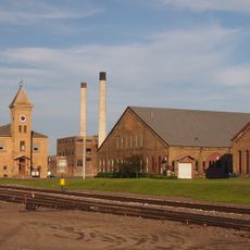
Mille Lacs Kathio State Park, Archaeological state park in Mille Lacs County, United States.

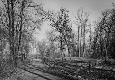
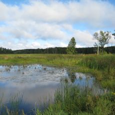
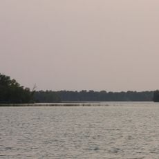
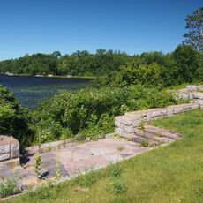
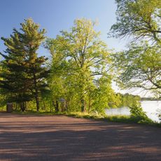
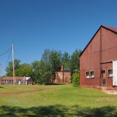
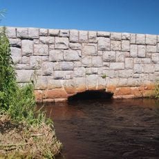
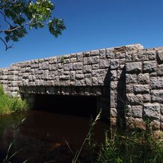
Mille Lacs Kathio is a state park with dense forests of oak, maple, birch, and pine, mixed with multiple lakes and glacial formations shaped by ice age geology. The landscape covers several thousand acres and combines woodland, water, and archaeological remains into one continuous environment.

Humans worked with copper in this area thousands of years ago, showing a long history of settlement and craftsmanship in the region. Different peoples occupied and shaped this land across many centuries, each leaving behind burial sites and tools.

The park contains nineteen archaeological locations with burial mounds where Dakota and Ojibwe peoples lived across many centuries. You can walk among these mounds today, surrounded by forest, and feel the long history of human presence in this place.

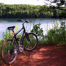
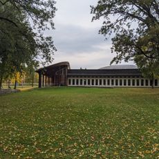
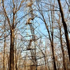
The park is accessible through hiking trails that wind through forests and past archaeological sites, making it easy to explore on foot. An observation tower at a central location helps orient yourself and offers views across the entire landscape.

The park holds copper tools and craft sites that are far older than other known archaeological finds in the region, stretching back multiple millennia. This early metalwork shows that the area was a center of craftsmanship and trade long before European contact.

Location: Mille Lacs County

Inception: 1957

Website: https://dnr.state.mn.us/state_parks/park.html?id=spk00232

GPS coordinates: 46.12880,-93.74050

Latest update: December 11, 2025 18:08

Photos
Around this place
Paul Bunyan Land
United States of America

Paul Bunyan Land

33.5 km
Father Hennepin State Park
United States of America

Father Hennepin State Park

19.6 km
Cuyuna Country State Recreation Area
United States of America

Cuyuna Country State Recreation Area

44.1 km
Mille Lacs National Wildlife Refuge
United States of America

Mille Lacs National Wildlife Refuge

13.3 km
Brainerd Water Tower
United States of America

Brainerd Water Tower

43.6 km
Crow Wing County Courthouse and Jail
United States of America

Crow Wing County Courthouse and Jail

43.7 km
Brainerd Public Library
United States of America

Brainerd Public Library

43.6 km
Mille Lacs Indian Museum
United States of America

Mille Lacs Indian Museum

5.9 km
Milaca Municipal Hall
United States of America

Milaca Municipal Hall

42.3 km
Bethlehem Lutheran Church
United States of America

Bethlehem Lutheran Church

39.8 km
Deerwood Auditorium
United States of America

Deerwood Auditorium

40.4 km
Franklin Junior High School
United States of America

Franklin Junior High School

43.3 km
Patrick Casey House
United States of America

Patrick Casey House

44.4 km
St. Joseph's Church-Catholic
United States of America

St. Joseph's Church-Catholic

32.6 km
Ogilvie Watertower
United States of America

Ogilvie Watertower

41 km
Cuyuna Iron Range Municipally-Owned Elevated Metal Water Tanks
United States of America

Cuyuna Iron Range Municipally-Owned Elevated Metal Water Tanks

42.7 km
Kanabec County Courthouse
United States of America

Kanabec County Courthouse

44.5 km
Kenney Lake Overlook
United States of America

Kenney Lake Overlook

23.5 km
Parker Building
United States of America

Parker Building

43.4 km
Pine-Hickory Lakes Roadside Parking Area
United States of America

Pine-Hickory Lakes Roadside Parking Area

35.1 km
Mille Lacs County Courthouse
United States of America

Mille Lacs County Courthouse

42.4 km
Washington Street Bridge
United States of America

Washington Street Bridge

44.3 km
Ironton Sintering Plant Complex
United States of America

Ironton Sintering Plant Complex

44 km
St. Alban's Bay Culvert
United States of America

St. Alban's Bay Culvert

17.4 km
Bridge No. 3355-Kathio Township
United States of America

Bridge No. 3355-Kathio Township

10.4 km
Mille Lacs Indian Museum
United States of America

Mille Lacs Indian Museum

5.5 km
Northern Pacific Railroad Shops Historic District
United States of America

Northern Pacific Railroad Shops Historic District

42.6 km
Mille Lacs Kathio Observation Tower
United States of America

Mille Lacs Kathio Observation Tower

431 m
Show the full map
Reviews

Visited this place? Tap the stars to rate it and share your experience / photos with the community! Try now! You can cancel it anytime.

« Mille Lacs Kathio State Park - Archaeological state park in Mille Lacs County, United States » is provided by Around Us (aroundus.com). Images and texts are derived from Wikimedia project under a Creative Commons license. You are allowed to copy, distribute, and modify copies of this page, under the conditions set by the license, as long as this note is clearly visible.

Discover hidden gems everywhere you go!

From secret cafés to breathtaking viewpoints, skip the crowded tourist spots and find places that match your style. Our app makes it easy with voice search, smart filtering, route optimization, and insider tips from travelers worldwide. Download now for the complete mobile experience.

Around Us App Screenshot

A unique approach to discovering new places

Le Figaro

All the places worth exploring

France Info

A tailor-made excursion in just a few clicks

20 Minutes