
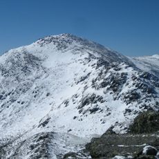
Mount Cabot, mountain in United States of America
Location: Coös County
Elevation above the sea: 1,270 m
Part of: Pilot Range
GPS coordinates: 44.50607,-71.41454
Latest update: June 8, 2025 18:27

Mount Adams
22.8 km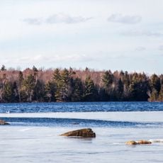
Great North Woods Region
22.4 km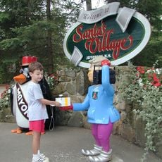
Santa's Village
11 km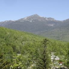
Mount Madison
22.6 km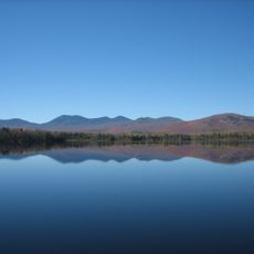
Jericho Mountain State Park
12.6 km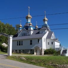
Holy Resurrection Orthodox Church
18.2 km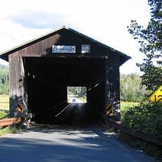
Mount Orne Covered Bridge
19.6 km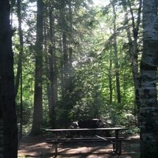
Moose Brook State Park
18.3 km
St. Anne Church
19.1 km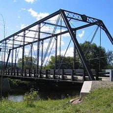
Janice Peaslee Bridge
20 km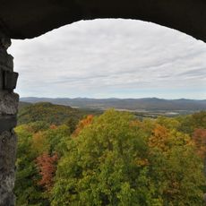
Weeks Estate
13.8 km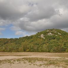
Mount Jasper Lithic Source
17.6 km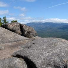
Owl's Head
19.6 km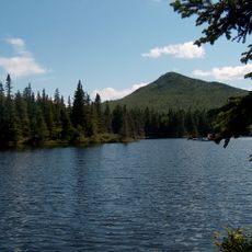
The Horn
1.7 km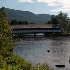
Stark Covered Bridge
10.6 km
Milan Hill State Park
16.9 km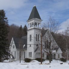
Congregational Church
19.5 km
Waumbek Cottages Historic District
10.8 km
Wilder-Holton House
13 km
William Dennis Weeks Memorial Library
12.5 km
George Washington Noyes House
23.3 km
Guildhall Village Historic District
13.5 km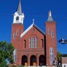
Saint Anne Historic District
19.2 km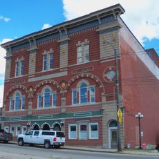
Albert Theater
19.1 km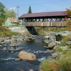
Mechanic Street Bridge
12.1 km
Berlin Branch Bridge
20.7 km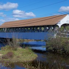
Groveton Bridge
12.5 km
Santa's Village
10.9 kmReviews
Visited this place? Tap the stars to rate it and share your experience / photos with the community! Try now! You can cancel it anytime.
Discover hidden gems everywhere you go!
From secret cafés to breathtaking viewpoints, skip the crowded tourist spots and find places that match your style. Our app makes it easy with voice search, smart filtering, route optimization, and insider tips from travelers worldwide. Download now for the complete mobile experience.

A unique approach to discovering new places❞
— Le Figaro
All the places worth exploring❞
— France Info
A tailor-made excursion in just a few clicks❞
— 20 Minutes