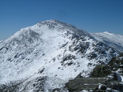
Mount Adams, Mountain summit in White Mountains, New Hampshire, United States.
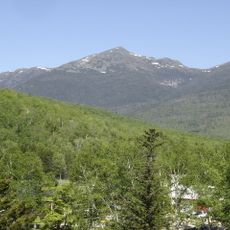
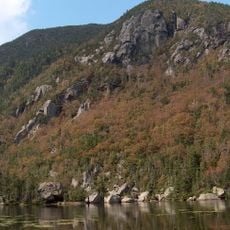
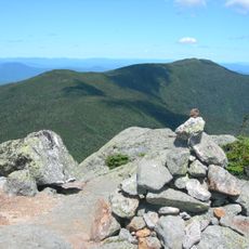
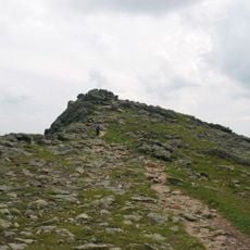
Mount Adams rises to 5,774 feet (1,760 meters) and is the second highest peak in New Hampshire within the Presidential Range. The mountain is accessed by multiple trails that wind up from different starting points around the base.
The peak was named in honor of John Adams, the second President of the United States, during the nineteenth century. This naming reflected a broader effort to designate summits in the region after presidents and national figures.
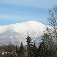
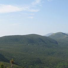
The summit is part of the Presidential Range, where peaks bear the names of American presidents and reflect the region's connection to national history. This naming tradition still shapes how hikers and locals talk about the mountain range.
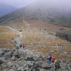
The mountain can be reached from various starting points, with the Airline Trail offering a direct route from the Appalachian Mountain Club base. Visitors should expect changing weather conditions, especially on higher sections, and bring properly equipped footwear.
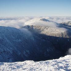
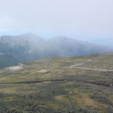
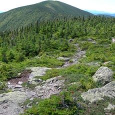
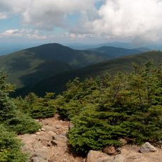
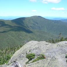
Above the tree line, rare plants thrive in extreme high-altitude conditions found in few other places in the region. This alpine zone creates a distinctly different landscape experience that stands apart from the forested slopes below.
The community of curious travelers
AroundUs brings together thousands of curated places, local tips, and hidden gems, enriched daily by 60,000 contributors worldwide.