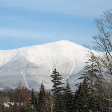
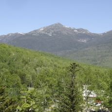
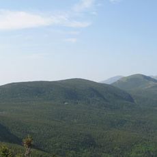
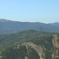
Mount Clay, Mountain summit in Presidential Range, New Hampshire, US
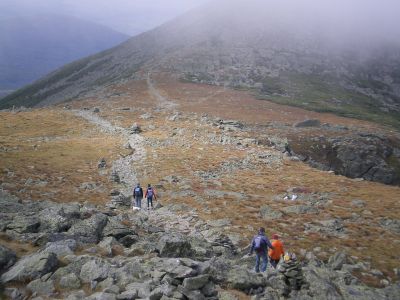
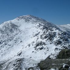
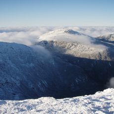
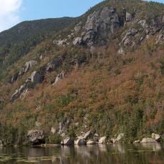
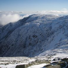
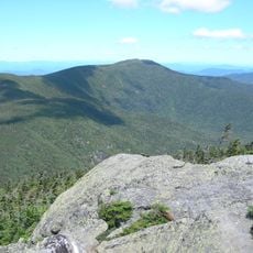
Mount Clay is a peak in the Presidential Range situated between Mount Jefferson and Mount Washington. Steep cliffs drop away from the summit toward the Great Gulf, a glacial cirque that creates dramatic vertical walls on the mountainside.
The peak was named during the 1800s by explorer William Oakes to honor statesman Henry Clay. More recently, proposals to rename it Mount Reagan created confusion about its official designation.
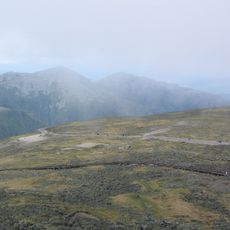
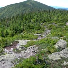
The peak forms part of the White Mountains National Forest, where hikers follow specific guidelines including the Leave No Trace program for environmental protection.
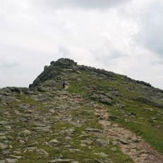
Hikers reach the summit via the Jewell Trail, which merges with the Gulfside Trail on the way up. Weather conditions change rapidly at this elevation, so visitors should bring appropriate gear and plan for sudden shifts in conditions.
The mountain holds two different official names depending on the source: Mount Reagan according to New Hampshire state law and Mount Clay according to federal geographic records. This naming dispute occasionally creates confusion for visitors checking maps and trail guides.
The community of curious travelers
AroundUs brings together thousands of curated places, local tips, and hidden gems, enriched daily by 60,000 contributors worldwide.