
Pokagon Township, township in Cass County, Michigan
Location: Cass County
Elevation above the sea: 229 m
GPS coordinates: 41.94083,-86.17056
Latest update: April 4, 2025 09:00

Main Building
27.1 km
Fort St. Joseph
16.1 km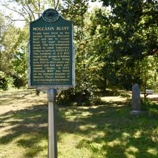
Moccasin Bluff Site
18.8 km
Niles Scream Park
17.8 km
Strikes 'n' Spares
25.8 km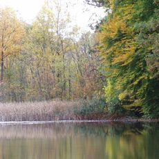
Fernwood Botanical Garden and Nature Preserve
16.8 km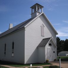
First Methodist Episcopal Church of Pokagon
3.2 km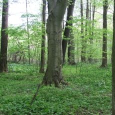
Dowagiac Woods
4 km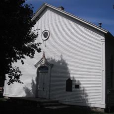
Smith's Chapel
19.3 km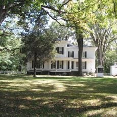
George Newton House
18.5 km
Berrien Springs Courthouse
14.1 km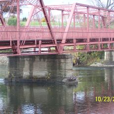
Water Street/Darden Road Bridge
24.8 km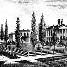
Old Berrien County Courthouse Complex
14.1 km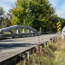
Crystal Springs Street–Dowagiac River Bridge
3.4 km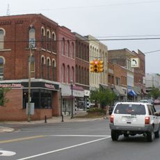
Niles Downtown Historic District
14.3 km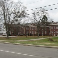
St. Joseph County Infirmary
26.4 km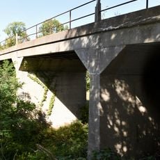
Thomson Road–Air Line Railroad Bridge
5.7 km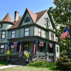
Criffield-Whiteley House
6.6 km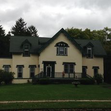
Ring Lardner House
14.9 km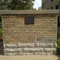
Notre Dame Old Fieldhouse
27.1 km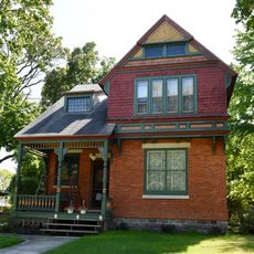
Buchanan North and West Neighborhoods Historic District
20.4 km
Union Block
20.2 km
Word of Life
27.1 km
Martin's Super Markets
23.8 km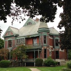
Henry A. Chapin House
14.2 km
Fort Saint Joseph Monument
16.1 km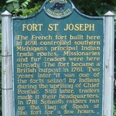
Fort Saint Joseph Historical Marker
16.1 km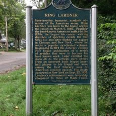
Ring Lardner Historical Marker
14.9 kmVisited this place? Tap the stars to rate it and share your experience / photos with the community! Try now! You can cancel it anytime.
Discover hidden gems everywhere you go!
From secret cafés to breathtaking viewpoints, skip the crowded tourist spots and find places that match your style. Our app makes it easy with voice search, smart filtering, route optimization, and insider tips from travelers worldwide. Download now for the complete mobile experience.

A unique approach to discovering new places❞
— Le Figaro
All the places worth exploring❞
— France Info
A tailor-made excursion in just a few clicks❞
— 20 Minutes