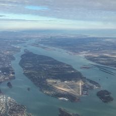
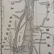
Sugar Island, River island in Wayne County, United States
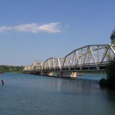
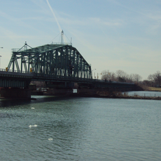
Sugar Island is a wooded river island in the Detroit River, located between Grosse Ile and Boblo Island, with sandy beaches along its edges. It is managed by the United States Fish and Wildlife Service and has no bridge connecting it to the mainland or nearby islands.
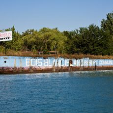
In the early 1900s the island was home to a resort park with a dance pavilion, served by steamships including the SS Tashmoo, which stopped running in 1936. After the resort closed, the land was left undeveloped and eventually placed under federal protection.
Sugar Island is a bird sanctuary that draws visitors who come to watch migratory species pass through during spring and fall. The wooded interior and sheltered shoreline give birds a place to rest, making it a rewarding spot for anyone who enjoys watching wildlife.
A boat is the only way to reach the island since no bridge connects it to the shore, so visitors should plan accordingly. The warmer months are generally the most comfortable time to make the crossing and explore the shoreline.
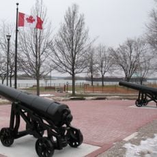
The island sits less than half a mile from the Canadian border, which runs through the middle of the Detroit River just to its east. Standing on the shore, visitors are looking across at a different country.
The community of curious travelers
AroundUs brings together thousands of curated places, local tips, and hidden gems, enriched daily by 60,000 contributors worldwide.