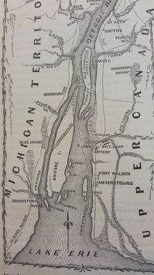
Fort Amherstburg, British military fort in Amherstburg, Canada
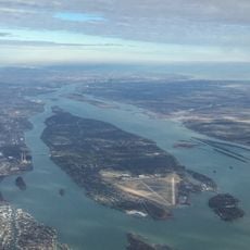
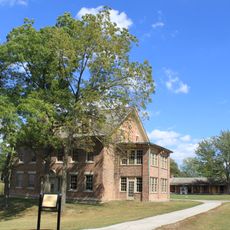
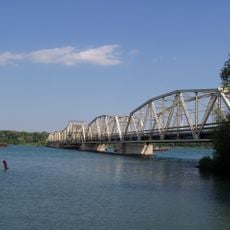
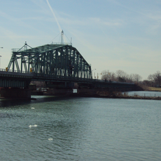
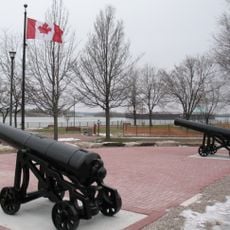
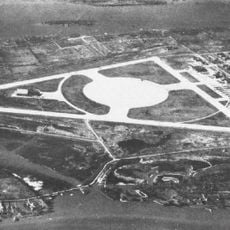
Fort Amherstburg is a British military fort in Amherstburg, Canada, situated at the point where the Detroit River meets Lake Erie. The site consists of bastions, barracks, and other defensive structures built to British military standards of the late 18th century.
The fort was built in 1796 after the Jay Treaty forced Britain to hand over Fort Detroit to the United States. It served as a key base during the War of 1812 before British forces partially destroyed it in 1813 to prevent it from falling into American hands.
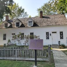
The fort takes its name from Jeffery Amherst, a British military commander from the 18th century. Inside the surviving buildings, visitors can see period uniforms, tools, and everyday objects that show how soldiers lived and worked on this site.
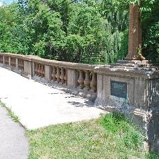
The grounds are best explored on foot, and walking along the bastions gives a clear view over the Detroit River. Spending time inside the buildings alongside the outdoor areas gives a fuller picture of the site.
Part of the northwest bastion dates from the American reconstruction phase after 1813, meaning that British and American building phases can be seen side by side today. This makes the site one of the few places where the physical layers of the border history between the two countries are still visible.
The community of curious travelers
AroundUs brings together thousands of curated places, local tips, and hidden gems, enriched daily by 60,000 contributors worldwide.