Amherstburg Royal Naval Dockyard, Naval shipyard and historic site in Amherstburg, Canada.
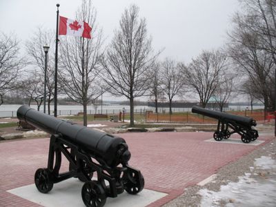
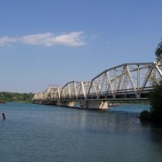
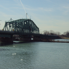
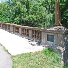
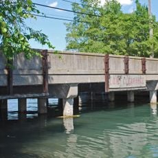
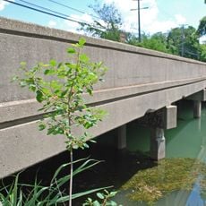
Amherstburg Royal Naval Dockyard is a former naval base on the Detroit River that today functions as a public park with formal gardens, walking trails, and mature trees. The site occupies a rectangular parcel of land directly at the water's edge and retains structures and monuments that mark its history as a shipyard.
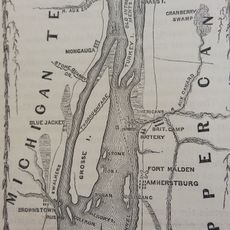
After Britain took control of the location in 1796 following the surrender of Detroit, it became the primary British naval base west of Kingston before its destruction in 1813. Its development as a shipbuilding facility was directly linked to the military tensions that led to the War of 1812.
The location carries visible reminders of its role as a naval hub through commemorative plaques and its riverside setting that connects visitors to its maritime past. The park layout itself reflects how the waterfront was used for military operations.
The site is easily accessible and maintained as a municipal park where visitors can walk along established paths beside the river. The park layout and riverside location make it straightforward to explore the historical area without any special preparation.
The site was the construction facility for four warships built for the British naval forces operating on the Great Lakes during the early 1800s. These vessels played a key role in regional maritime conflicts and represent a rare example of naval shipbuilding in North America during this period.
The community of curious travelers
AroundUs brings together thousands of curated places, local tips, and hidden gems, enriched daily by 60,000 contributors worldwide.