Enable Location

We need your location to show you interesting places around you

Discover nearby places

Find interesting locations and hidden gems around you

Precise directions

Get accurate directions and distances to places

Your location is never shared with other users. It's only used when you tap the location button.

Long Marsh Run Rural Historic District

Log in to your account

Start exploring — it's free

Trusted by 62,413 travelers worldwide

Continue with Google
Continue with Apple
or

We will send you a code to connect

By continuing, you accept our Terms and Conditions and our Privacy Policy

Check your inbox

We've sent a pincode in your inbox. Please enter the code below.

Long Marsh Run Rural Historic District, Historic district in Clarke County, US.

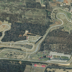
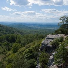
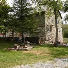
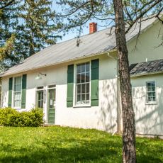
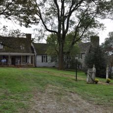
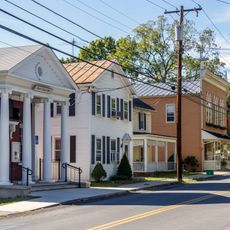
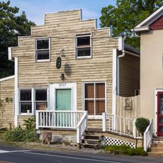
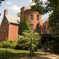
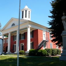
Long Marsh Run Rural Historic District spreads across a rural section of Clarke County and includes hundreds of historic farms, churches, schools, mills, and cemeteries from different periods. These buildings and structures sit visible from public roads and show how people settled this land between West Virginia and Route 7.

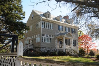
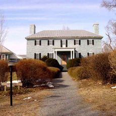
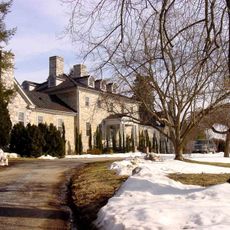
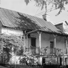
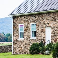
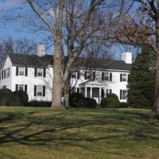
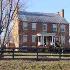
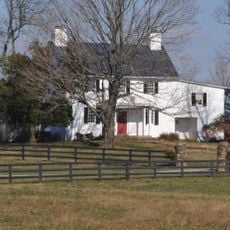
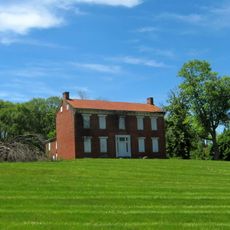
Settlement started in the 1770s when early colonists including Warner Washington, a relative of George Washington, established large plantations with stone houses that still stand today. This first wave of settlement shaped the farming pattern and family land holdings that define the district.

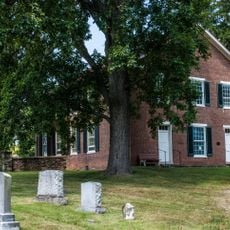
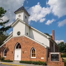
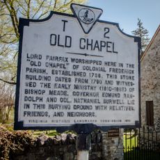
Three African American communities still have their original churches and schools standing in the district, showing how different groups built lives alongside each other in this rural area.

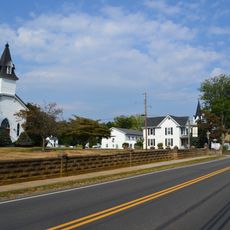
Most buildings and structures can be seen from public roads, scattered across open farmland, making car travel the best way to explore the district. Walking is possible on some roads, but distances between sites are long, so plan to drive if you want to see multiple locations.

Several family homes built in the 1770s were constructed with carefully fitted limestone blocks, showing the skilled stonework of early settlers in this valley. The stone likely came from local quarries near Long Marsh Run creek and was shaped and placed by hand.

The community of curious travelers

AroundUs brings together thousands of curated places, local tips, and hidden gems, enriched daily by 60,000 contributors worldwide.

Start exploring
Location
GPS coordinates
39.14860,-77.91060
Latest update
December 14, 2025 17:40
Around this place
Summit Point Motorsports Park
United States of America

Summit Point Motorsports Park

11.1 km
Holy Cross Abbey, Virginia
United States of America

Holy Cross Abbey, Virginia

2.9 km
Fairfield
United States of America

Fairfield

4.6 km
Raven Rocks
United States of America

Raven Rocks

6.6 km
White House Farm
United States of America

White House Farm

11.8 km
Burwell-Morgan Mill
United States of America

Burwell-Morgan Mill

14.1 km
Ebenezer Baptist Churches
United States of America

Ebenezer Baptist Churches

13.2 km
Ketoctin Baptist Church
United States of America

Ketoctin Baptist Church

13.9 km
Scaleby
United States of America

Scaleby

13.2 km
High Banks
United States of America

High Banks

15.2 km
Woodgrove
United States of America

Woodgrove

12.2 km
Cleremont Farm
United States of America

Cleremont Farm

12.1 km
Berryville Historic District
United States of America

Berryville Historic District

6.2 km
Bluemont Historic District
United States of America

Bluemont Historic District

7.9 km
William Grubb Farm
United States of America

William Grubb Farm

10.2 km
Bear's Den Rural Historic District
United States of America

Bear's Den Rural Historic District

6.9 km
Josephine City School
United States of America

Josephine City School

6 km
Glendale Farm
United States of America

Glendale Farm

12.6 km
Clermont
United States of America

Clermont

4.6 km
Rock Hill Farm
United States of America

Rock Hill Farm

13.1 km
Josephine City Historic District
United States of America

Josephine City Historic District

6.2 km
Millbank
United States of America

Millbank

14.8 km
Boyce Historic District
United States of America

Boyce Historic District

14.4 km
Round Hill Historic District (Round Hill, Virginia)
United States of America

Round Hill Historic District (Round Hill, Virginia)

12.4 km
Millwood Commercial Historic District
United States of America

Millwood Commercial Historic District

14 km
Chapel Rural Historic District
United States of America

Chapel Rural Historic District

10 km
South Charles Town Historic District
United States of America

South Charles Town Historic District

15.3 km
Old Clarke County Courthouse
United States of America

Old Clarke County Courthouse

6.1 km
Show the full map
« Long Marsh Run Rural Historic District - Historic district in Clarke County, US » is provided by Around Us (aroundus.com). Images and texts are derived from Wikimedia project under a Creative Commons license. You are allowed to copy, distribute, and modify copies of this page, under the conditions set by the license, as long as this note is clearly visible.

Discover hidden gems everywhere you go!

From secret cafés to breathtaking viewpoints, skip the crowded tourist spots and find places that match your style. Our app makes it easy with voice search, smart filtering, route optimization, and insider tips from travelers worldwide. Download now for the complete mobile experience.

Around Us App Screenshot

A unique approach to discovering new places

Le Figaro

All the places worth exploring

France Info

A tailor-made excursion in just a few clicks

20 Minutes

Around Us
Travel Guide & Maps
Download

Send to your phone

QR Code
1

Open the camera app on your mobile.

2

Point at the QR code with your camera. A notification will appear.

3

Tap the notification to open the link.