Enable Location

We need your location to show you interesting places around you

Discover nearby places

Find interesting locations and hidden gems around you

Precise directions

Get accurate directions and distances to places

Your location is never shared with other users. It's only used when you tap the location button.

Clarke County

Log in to your account

Start exploring — it's free

Trusted by 61,979 travelers worldwide

Continue with Google
Continue with Apple
or

We will send you a code to connect

By continuing, you accept our Terms and Conditions and our Privacy Policy

Check your inbox

We've sent a pincode in your inbox. Please enter the code below.

Clarke County, Administrative county in northern Virginia, US

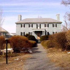
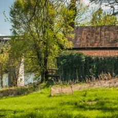
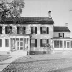
Clarke County is an administrative division in northern Virginia situated between the Shenandoah River and the Blue Ridge Mountains. The landscape consists of fertile valleys, rolling hills, farmland, and forested areas that define the region's natural geography.

The county was established in 1836 through separation from Frederick County and held strategic importance during the American Civil War. Military campaigns passed through the area due to its position near key river crossings and mountain passes.

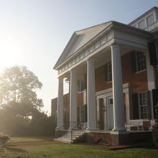
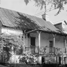
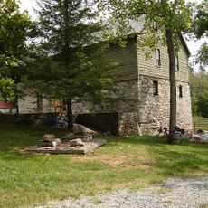
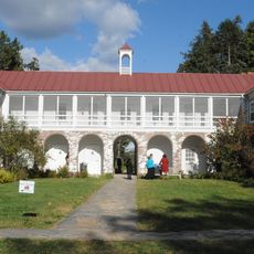
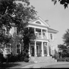
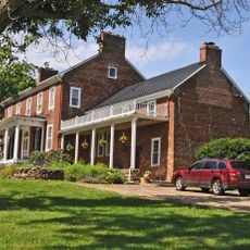
The Clarke County Historical Association maintains records and artifacts documenting the agricultural traditions and social development of the region.

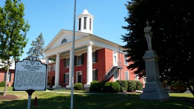
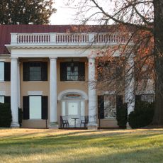
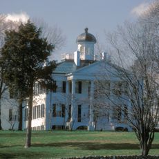
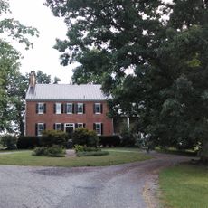
Berryville serves as the county seat and houses government offices, healthcare facilities, and schools serving the local population. The town provides essential services and amenities for residents and visitors in the area.

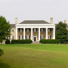
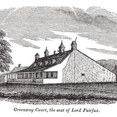
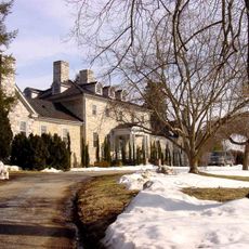
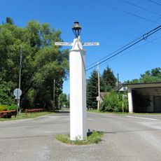
White Post village takes its name from a colonial-era wooden directional marker that once guided travelers to Lord Fairfax's Greenway Court estate. This distinctive landmark inspired the settlement's name that persists today.

The community of curious travelers

AroundUs brings together thousands of curated places, local tips, and hidden gems, enriched daily by 60,000 contributors worldwide.

Start exploring
Location
Inception
1836
Capital city
Berryville
Part of
Arlington–Alexandria–Reston metropolitan division
Shares border with
Jefferson County, Loudoun County, Fauquier County, Frederick County, Warren County, Berkeley County
GPS coordinates
39.12000,-78.00000
Latest update
December 20, 2025 15:34
« Clarke County - Administrative county in northern Virginia, US » is provided by Around Us (aroundus.com). Images and texts are derived from Wikimedia project under a Creative Commons license. You are allowed to copy, distribute, and modify copies of this page, under the conditions set by the license, as long as this note is clearly visible.

Discover hidden gems everywhere you go!

From secret cafés to breathtaking viewpoints, skip the crowded tourist spots and find places that match your style. Our app makes it easy with voice search, smart filtering, route optimization, and insider tips from travelers worldwide. Download now for the complete mobile experience.

Around Us App Screenshot

A unique approach to discovering new places

Le Figaro

All the places worth exploring

France Info

A tailor-made excursion in just a few clicks

20 Minutes

Around Us
Travel Guide & Maps
Download

Send to your phone

QR Code
1

Open the camera app on your mobile.

2

Point at the QR code with your camera. A notification will appear.

3

Tap the notification to open the link.