Adams Pond Dam, Höhle in den Vereinigten Staaten
Location: Belknap County
Elevation above the sea: 215 m
GPS coordinates: 43.45667,-71.24444
Latest update: November 20, 2025 10:17


Mount Major
7.2 km
Gunstock Mountain
13.3 km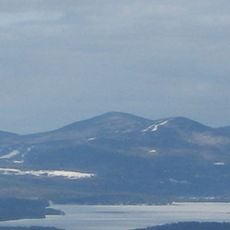
Belknap Mountain
12.2 km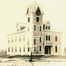
New Durham Town Hall
6.9 km
Smith Meeting House
10.6 km
Belknap Mountain State Forest
12.3 km
Gilmanton Ironworks Library
6.1 km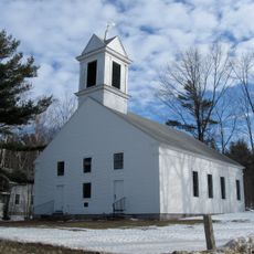
First Freewill Baptist Church
7.8 km
New Durham Meetinghouse and Pound
10.1 km
Alton Bay station
1.9 km
Oscar Foss Memorial Library
13.1 km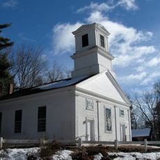
First Baptist Church of Gilmanton
12.2 km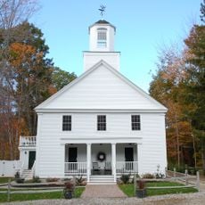
Union Church
13 km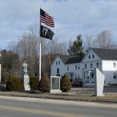
Monument Square Historic District
2.7 km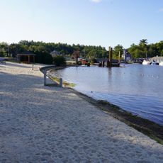
Alton Town Beach
1.9 km
Gillan Pond
7.6 km
Monument Square Historic District
1.9 km
Alton Power Dam
1.2 km
Amphitheater
6.8 km
Locke Lake Links
8.7 km
Sawyer Lake
13 km
Scenic viewpoint
7.2 km
Scenic viewpoint
6.8 km
Scenic viewpoint
12 km
Scenic viewpoint
5.5 km
Scenic viewpoint
7.2 km
Waterfall
6.3 km
Waterfall
6.7 kmReviews
Visited this place? Tap the stars to rate it and share your experience / photos with the community! Try now! You can cancel it anytime.
Discover hidden gems everywhere you go!
From secret cafés to breathtaking viewpoints, skip the crowded tourist spots and find places that match your style. Our app makes it easy with voice search, smart filtering, route optimization, and insider tips from travelers worldwide. Download now for the complete mobile experience.

A unique approach to discovering new places❞
— Le Figaro
All the places worth exploring❞
— France Info
A tailor-made excursion in just a few clicks❞
— 20 Minutes