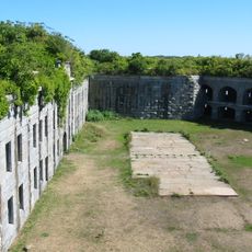
Fort McKinley Historic District, park in the United States of America
Location: Cumberland County
GPS coordinates: 43.68333,-70.19306
Latest update: December 1, 2025 02:19

Fort Gorges
3.2 km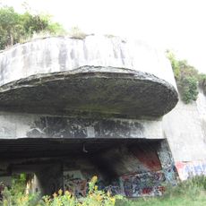
Battery Steele
2.9 km
Eastern Promenade
4.5 km
Portland Breakwater Light
4.6 km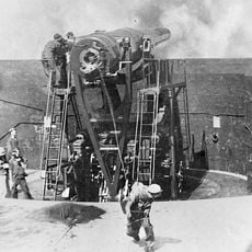
Fort McKinley, Maine
572 m
Spring Point Ledge Light
4.3 km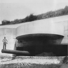
Fort Levett
4.5 km
Umbrella Cover Museum
3.1 km
Baxter Summer Home
3.3 km
Martin's Point Bridge
4.3 km
Portland, Maine Marine Hospital
4.4 km
Eighth Maine Regiment Memorial
3.4 km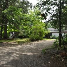
Payson House at Thornhurst
4.1 km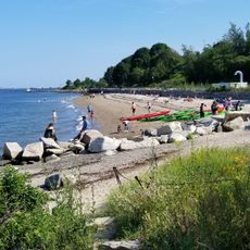
East End Beach
4.2 km
Thomas Skelton House
4.5 km
First Civic Monument
4.4 km
Andrews Beach
3 km
West Shore Sandy Beach
2.6 km
Portland Country Club
4.1 km
Seaglass Beach
4.1 km
Lobster Pound Beach
3.7 km
Bathing Beach
4.3 km
Shell Beach
4.3 km
Clam Beach
4.4 km
Sunset Beach
3.7 km
Sandy Beach
3.5 km
Landing Beach
3.2 km
Scenic viewpoint
4.2 kmReviews
Visited this place? Tap the stars to rate it and share your experience / photos with the community! Try now! You can cancel it anytime.
Discover hidden gems everywhere you go!
From secret cafés to breathtaking viewpoints, skip the crowded tourist spots and find places that match your style. Our app makes it easy with voice search, smart filtering, route optimization, and insider tips from travelers worldwide. Download now for the complete mobile experience.

A unique approach to discovering new places❞
— Le Figaro
All the places worth exploring❞
— France Info
A tailor-made excursion in just a few clicks❞
— 20 Minutes